
Tarkine Coastal Route ~ AUS Post #13
December 20-26

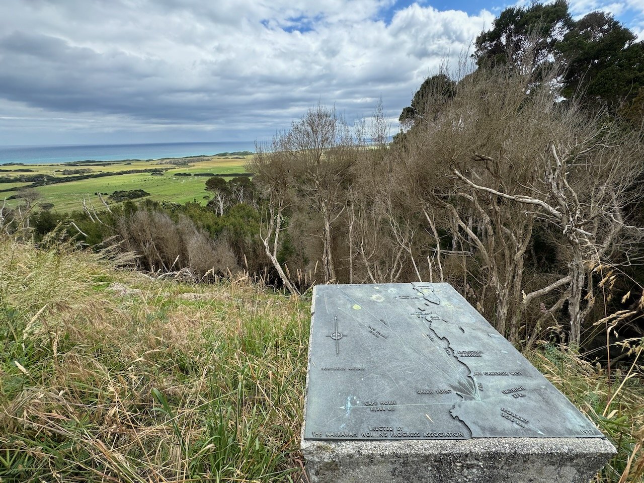
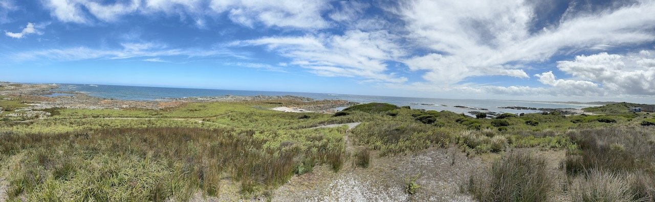
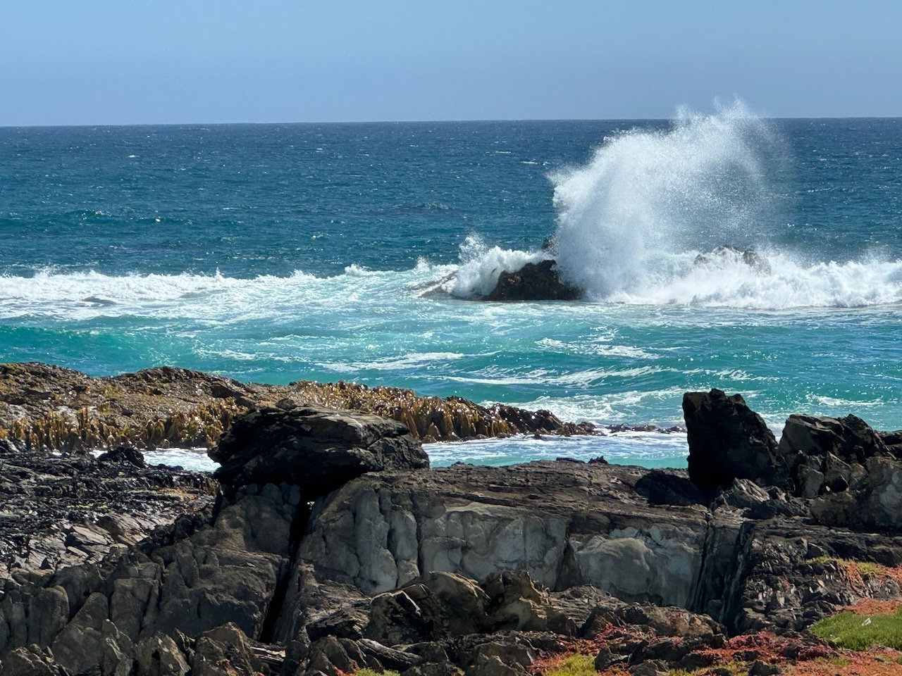
Edge of the World & mouth of the Arthur River
As per our norm, it was about noon when we were finally ready to say farewell to our most gracious Montagu campground hosts. We found them visiting with a family of locals just setting up camp that morning for the upcoming holiday. We had no sooner been introduced, than we were being offered fresh made scones with raspberry preserves, cream, and a side of savory toast.
Apparently we couldn’t even leave the campground slightly hungry - and here I was worrying about our food reserves….
Marrawah - A Surfing Destination
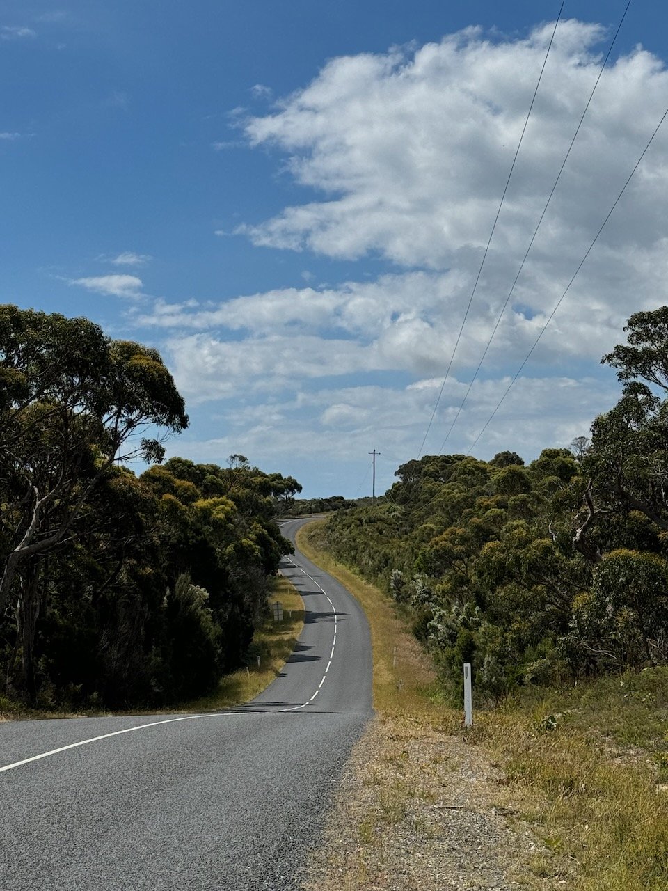
Fully loaded, we were thankful for the rolling country hillside until the last hill climb to Marrawah. Before heading down to the beach-side, free-camp at Green Point, we stopped to check out the General Store and were surprised to find it was stocked with a wide range of shelf-stable food and even a few produce items.
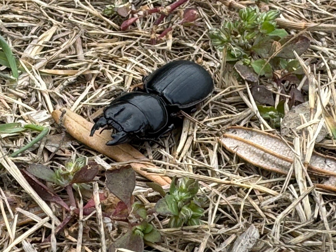
At the checkout with our essential cold drink and ice cream bar, Nivaun felt something on his neck and knocked it to the ground only to find a leach wriggling on the floor. After casually transporting it outside, we realized it must of come off a branch when he stopped to check out an abandoned, overgrown road for a campsite along the way. Apparently, as attracted as mosquitos are to my blood type, leaches are to his - and that’s fine with me.

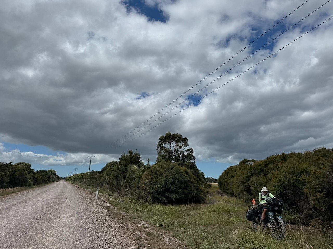


We arrived at Green Point mid-afternoon to find just a couple caravans and cars in the make-shift campground car park. We found the flatest spot available and setup, grateful to have a spot. Rain was in the forecast so we decided to stay two nights before making the climb out and continuing on to Arthur River. Sure enough by evening the car park was full of surfers living out of their cars, vans, trucks and tents - ready to wake at dawn and head to where ever the surf was breaking. Our plan was less ambitious, we lazed around in the morning, saw our first Bandicoot, and then headed to the beach on our bikes to ride down to Mt. Cameron and back.


After pushing our way back up the hill the next morning, we made a quick stop at the General Store, in part to look for a snorkel and mask, after the local surfers assured us we could certainly find Abalone along the coast, if we ran out of food further down. We then pulled in to the Marrawah Inn for possibly our last restaurant meal on our route for the next two weeks.
But before we could step away from our bikes, we were approached by a guy enthralled with our setup and our plans to tour Australia. Himself, a tour guide from France, he was enjoying some downtime after finishing a guide trip, before returning home. He was more than happy to share some highlights of where to go beyond the typical tourist spots and offered his contact information in case we needed help over the next few days. After a great exchange over places we each had visited in the area, we parted ways with all the flair of the French custom and hoped to meet up again.
The Town of Arthur River
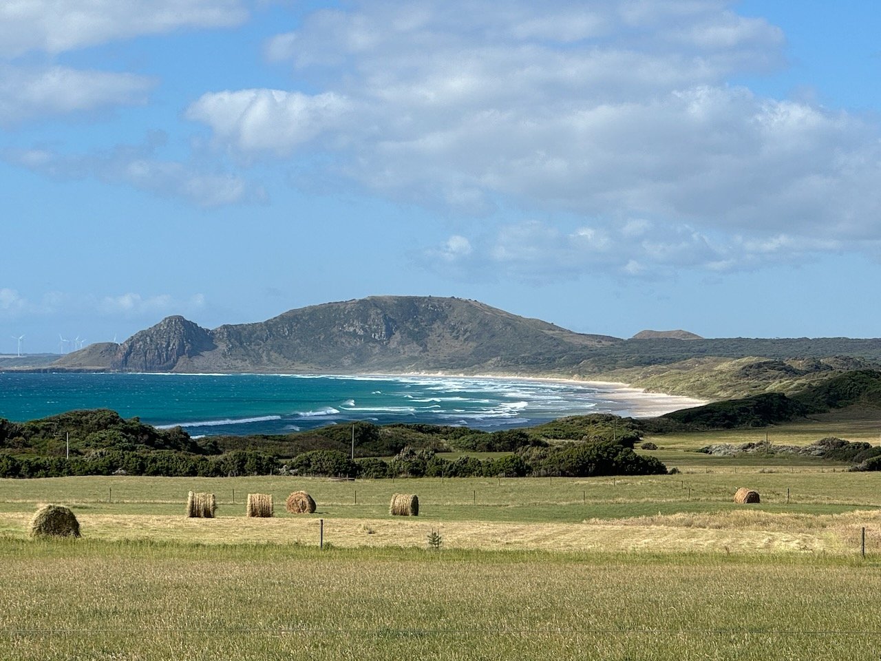
On the way to Arthur River we enjoyed more rideable hills as we passed by whimsical hay bales turned into holiday figures at every driveway - clearly a farm-thing and certainly more eco-friendly than a massive light display. Mid-way we arrived at the intersection to the inland Tarkine loop we had ridden over a week ago.
It gave us pause, what took most travelers 2-3 days, we were doing in almost a month. I recalled one caravaner early on in our trip had commented, “oh, you’ll miss a lot traveling by bike” (referring to the hills and rugged terrain), yet here we were having experiences that no one in a caravan could even dream of - yes, it was taking us more time, but it felt like we were experiencing so much more, thanks in part to the amazing people that had come across our path.


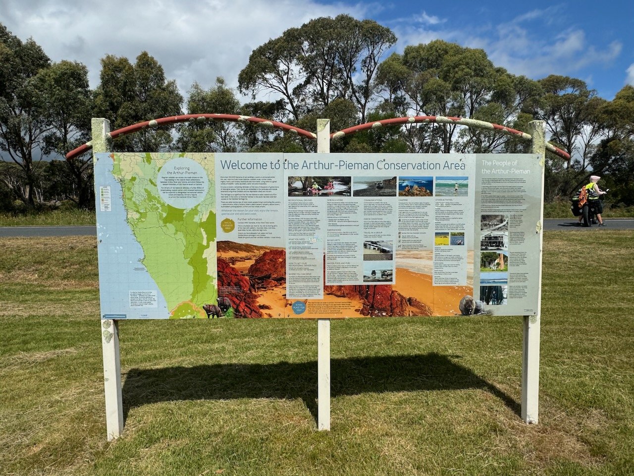
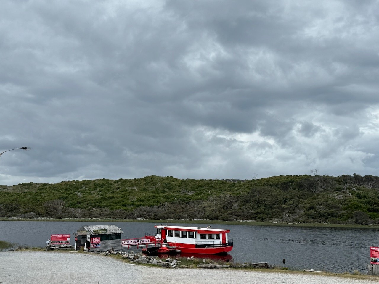


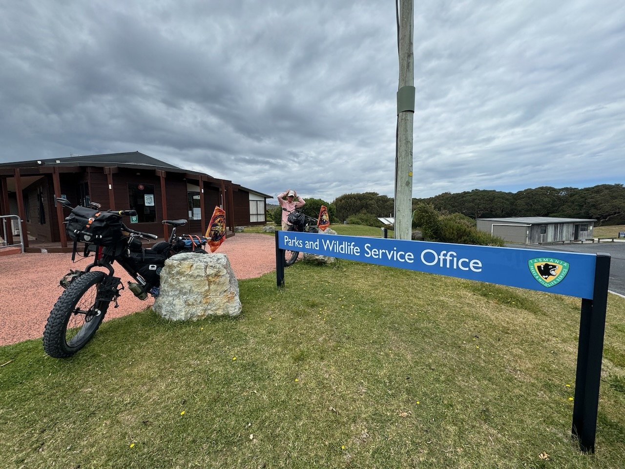
We booked a cabin at the caravan park in Arthur River for a couple days, so we could talk with the rangers at Parks & Wildlife about our intended route, get our routine chores done, and then head out to see the “Edge of the World” to begin our ride down the coast.
As it turned out, we learned from the ranger riding the prettiest section along Sandy Cape was now closed to any wheeled vehicles, including bicycles. The only option after Couta Rocks was to do an out and back on the first half of Sandy Cape and then head inland to follow the Western Explorer all the way to Corinna. Once across the Pieman via the barge, we could head out to the beach again, and continue down to Trial Harbor, but that would add even more kilometers to our route.
And so we altered our plan again. It was now two days before Christmas which we also learned is the start of a 3 week holiday break for most Australians. Rather than risk encountering holiday craziness along the coastline and in the campgrounds off the coast, we opted to extend our stay in Arthur River and camp at the quiet little Peppermint campground, next to the Parks & Wildlife office, right across from the Take Away with enough choices to keep us fed until they closed early on Christmas Eve.


At the campground, we reunited with another of our Smithton caravan park neighbors and later bumped into the French tour guide we met in Marrawah now on his way back to Sarah Anne Rocks. To finish our stay, we treated ourselves to a dinner of fresh sausages with green peppers and onions on bread with ingredients from the Take Away shop, and the next morning a breakfast of sausage, potatoes and avocado with toast.
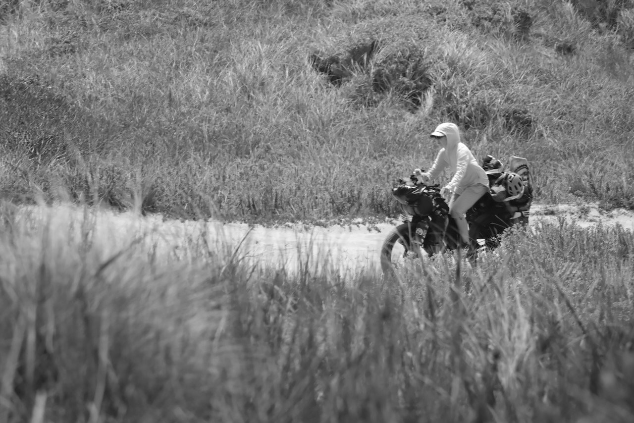
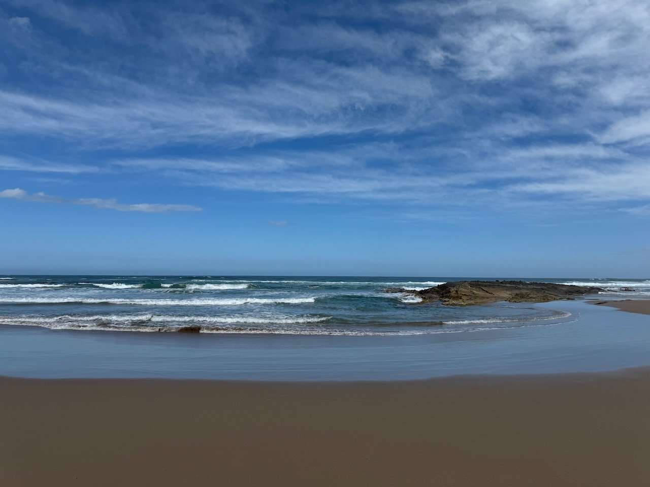
Fueled up and ready to go, we rode across the Arthur River and over to the “Edge of the World” to take a few tourist snaps before turning on to the soft sandy 4WD track that would take us, hopefully soon, to a hard sand beach. I made it only a few meters into the sand before hearing an approaching ATV. I tried to squeeze myself up against the berm and scrub to let them pass without incident. Fearing some wild-eyed teens, it turned out to be an older man and his wife that slowed down to inform us “it only gets worse from here”. I could tell from his incredulous expression, he seriously thought we had taken a wrong turn and didn’t realize what we were getting ourselves into - we just smiled and waved. Thankfully we found an earlier exit point to the beach and decided to risk having to back track. Without too much “drama” we were soon past the obstacles and the wet sand stretched out before us as far as we could see.

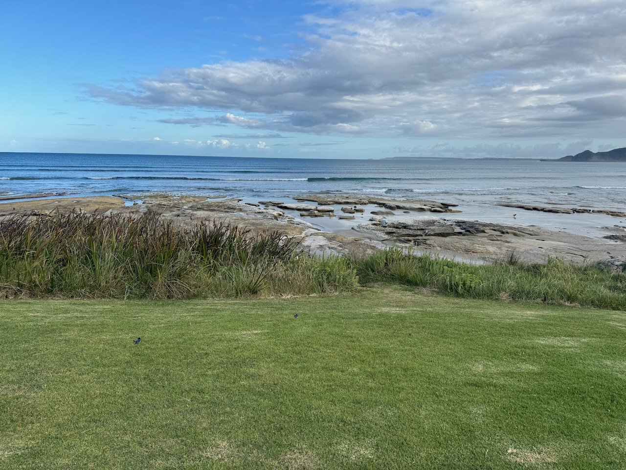
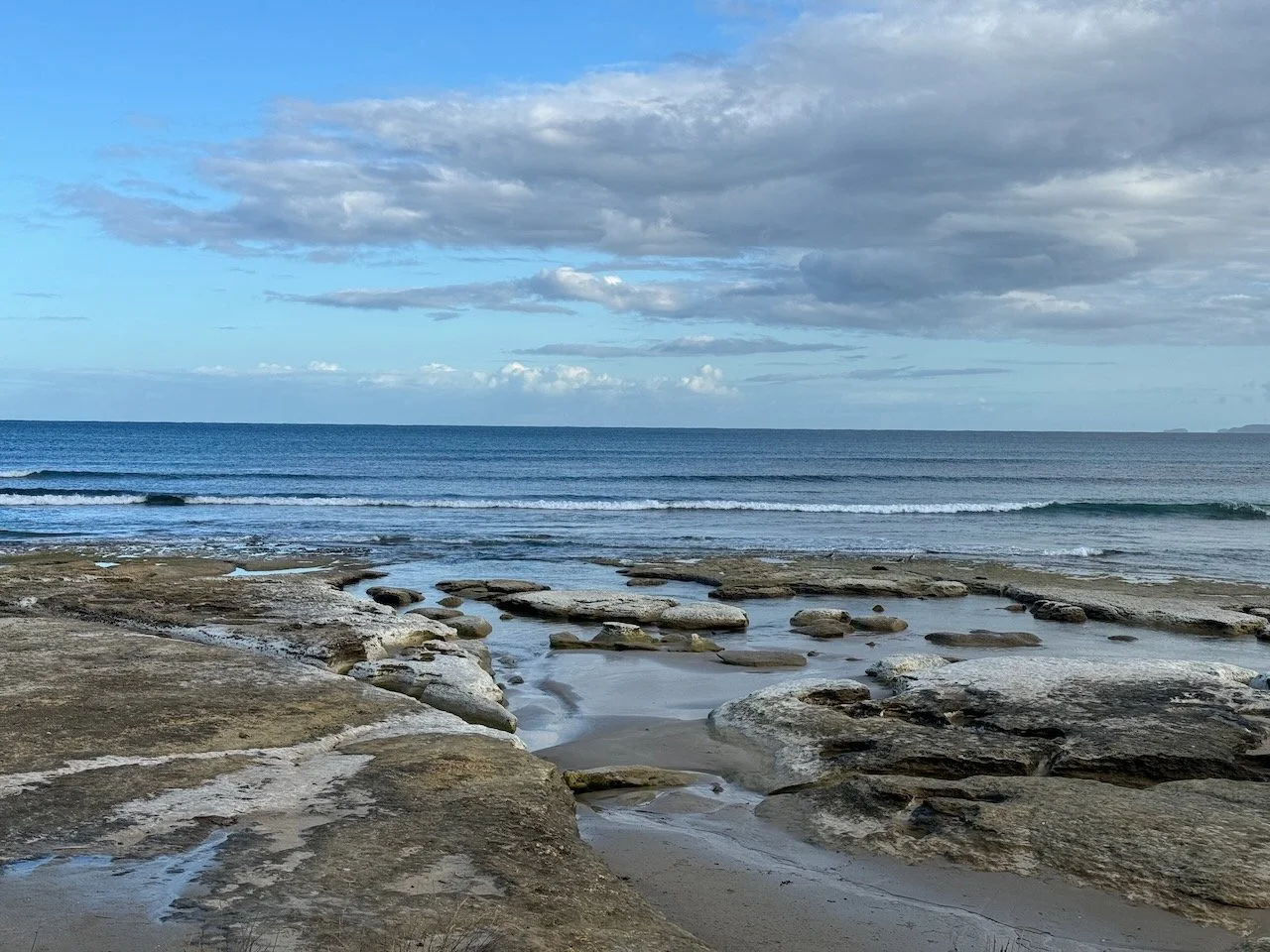
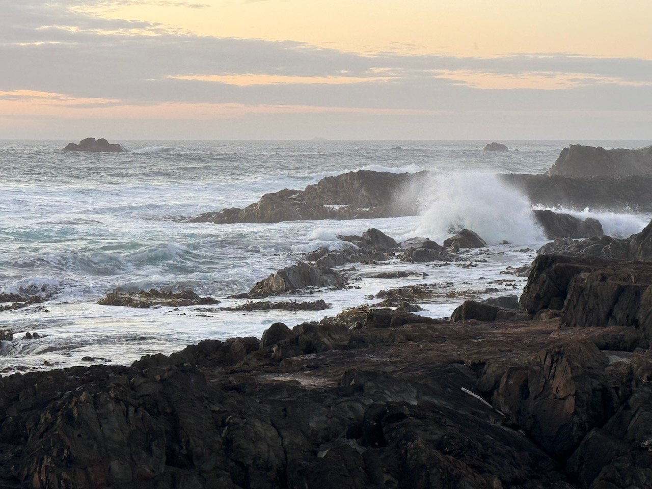
The Edge of the World viewpoint


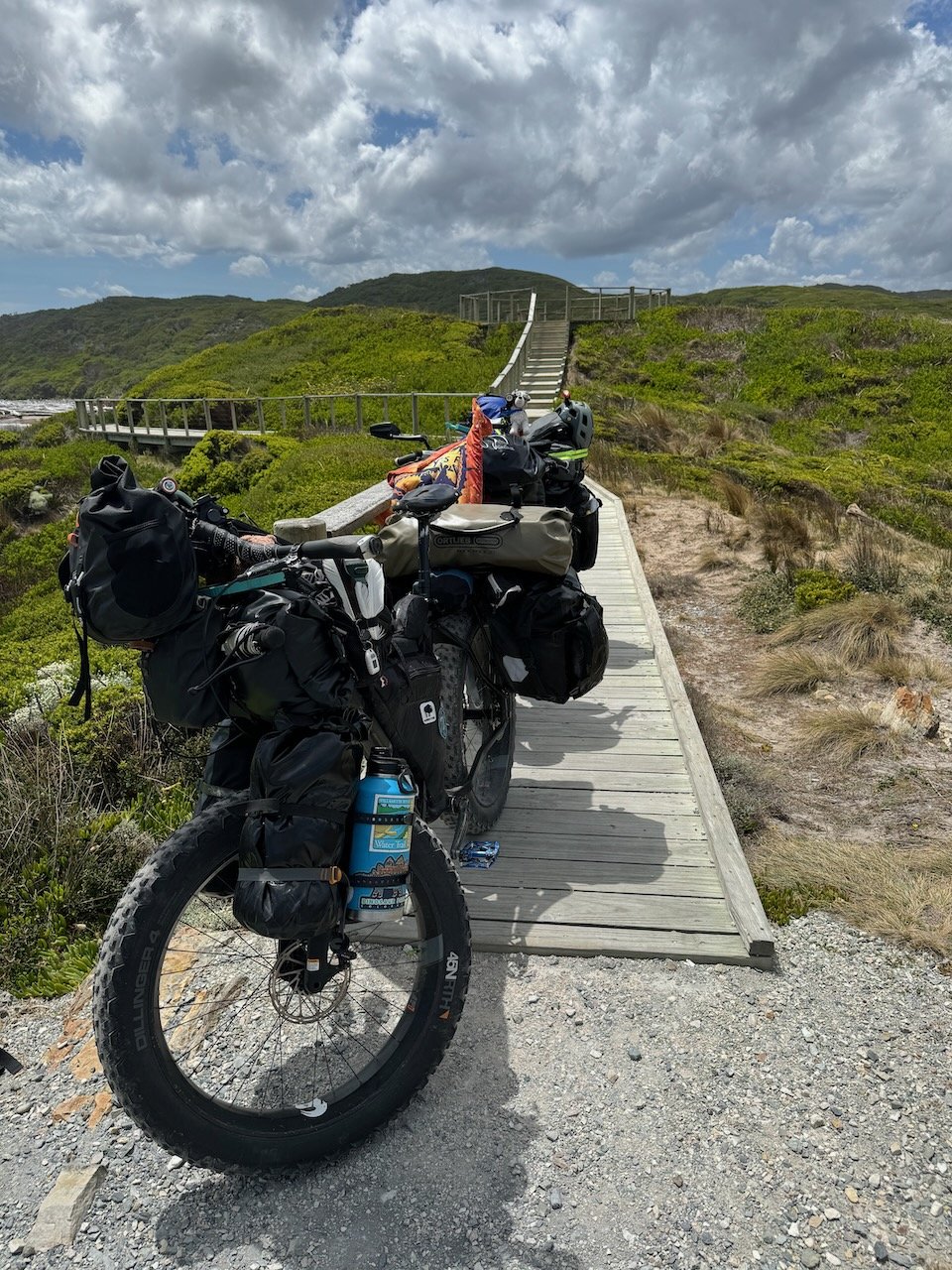


The rangers had cautioned us on how the sand can become aerated by the surf turning it into sponge or worse quick-sand, and to be wary - beaches can apparently devour a 4WD of any size. This being our first time on the beach with our bikes heavily loaded, we instantly felt the sponge effect under our tires - what seemingly looked like it should be firm as concrete, felt like riding on a foam mattress. Well - it was this, or climbing hills - I guess we would know within a day or two which was more work.
Bottle Creek - Wild Camp
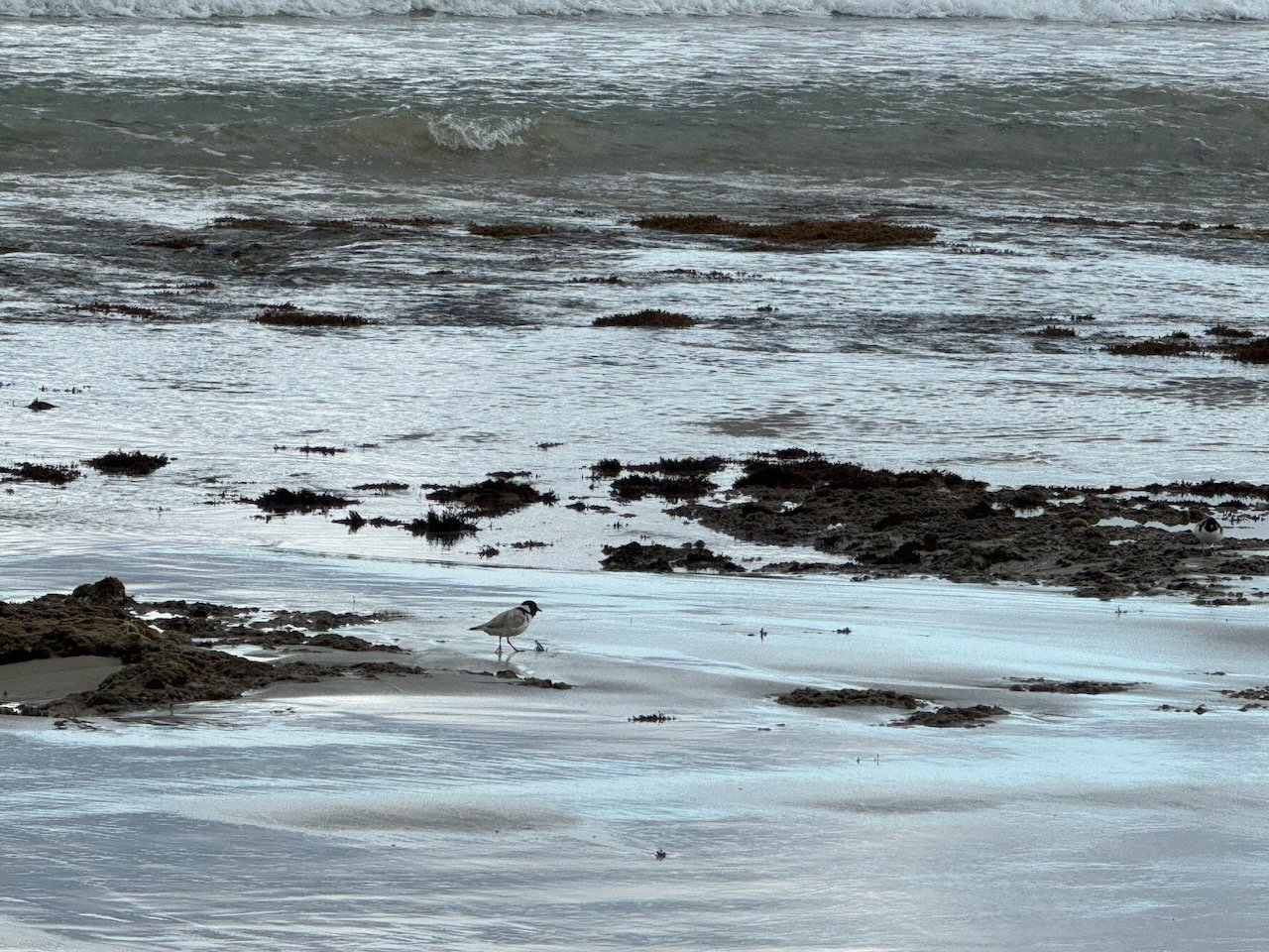
We still weren’t sure what to expect as we headed down the beach in terms of traffic. I had envisioned dodging all manner of 4WDs and dirt bikes trying not to let it ruin our “experience” but surprisingly the traffic was minimal - an occasional ATV and one lone dirt biker intent on racing by to show off his wheelie talent.


After crossing our first flowing fresh water creek next to a striking hillside, we decided to check out whether we might find a campsite all our own. Nivaun returned with a look of excitement - the track along the creek was marked foot traffic only. We pushed our bikes up the track to an open patch of grass alongside the creek with plenty of room to setup the tent. It was apparent why the area was closed to motorized vehicles - across the track, what looked to have once been a soft marshy clearing, was now rutted out with tire marks over the entire circumference until there wasn’t a flat piece of ground left.

Our first wild beach camp - perfection!


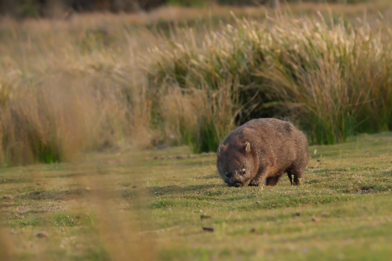
After dinner, we decided to walk further back over the next rise and see whether we could find any more wildlife. It was close to dusk and the Pademelons had started to appear along with a Bandicoot, but we had been told that from here on, we would start seeing Wombats.
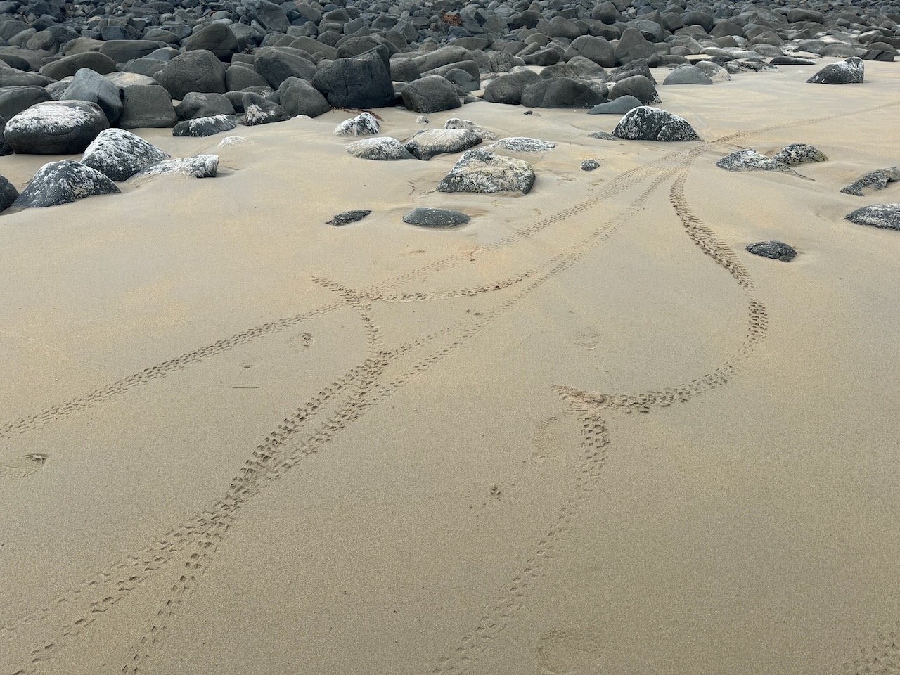
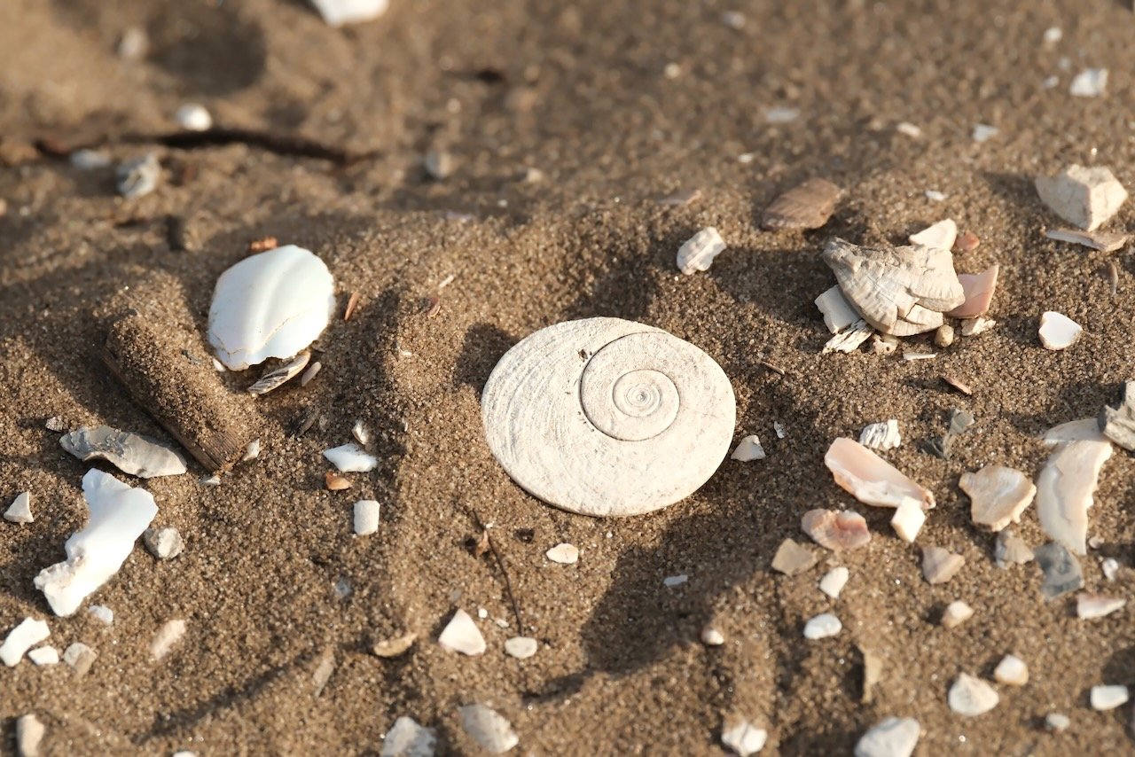
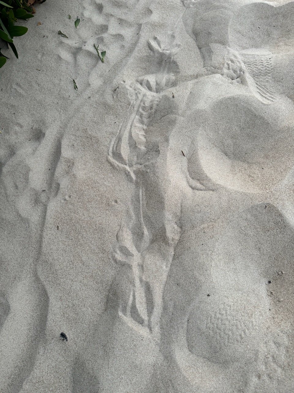
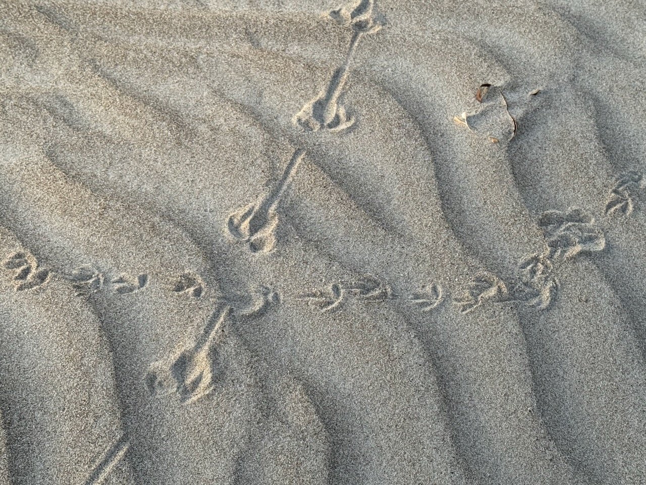
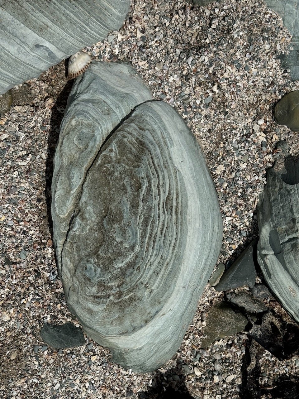
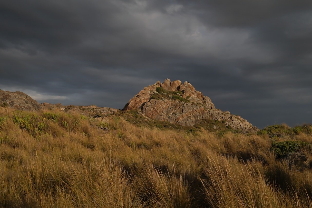
Middens & Foot prints


As we crested the rise, the grass land stretched out in all directions. Within a few minutes, we spotted our first Wombat out in the middle of a short grassy patch, alongside the track just a few meters away. As we stood there transfixed, I thought I saw movement in the button grass right next to us. I strained to distinguish the brush from whatever was barely moving underneath it, only to realize it was another Wombat, and then my eyes attuned, I saw another and then another. We were surrounded by Wombats busily munching away, hardly giving us notice. It was the perfect end to a day of uncertainty - Tasmania was without fail, amazing us every day.


Nelson Bay, Sarah Anne, Couta Rocks - Wild Camp
Leaving our wild camp the next morning, we rode down the beach to where the track continued on a 4WD road behind the first community of “fish shacks” dotting the coastline further West. We expected to find a campground there, but the only sign we could find was one marking the stream flowing out to the beach as poisoned - we surmised it must be related to an abandon mine somewhere inland. As we continued on, we began to contemplate whether the creek we had camped by might also be tainted. Our phones no longer had reception, so we had no way to dispel our suspicions.
Nelson Bay


In just a few more kilometers we reached the main road, and further along crossed over Nelson Bay River falls. It was free flowing with no warning signs, so we decided to replace our filtered water from the creek just in case.


We were now about 20km from the start of the Western Explorer road and I couldn’t get the comment from the pack rafter we had met at the Arthur out of my head, “You could ride the Western Explorer route, but I wouldn’t”. As we pulled up to the junction to Sarah Anne Rocks to take the next 4WD track over to Couta Rocks, I felt the “clock-ticking urgency” to cover more distance, and after a moment, did my best to quietly let it pass. So far, I was amazed at how well-timed our trip had been in spite of all the unknowns, everything continued to work itself out day by day, no matter what showed up unexpected, something else would show up that made it all work - just by letting the journey flow. Nivaun has this mastered, with time I’m sure I will as well.
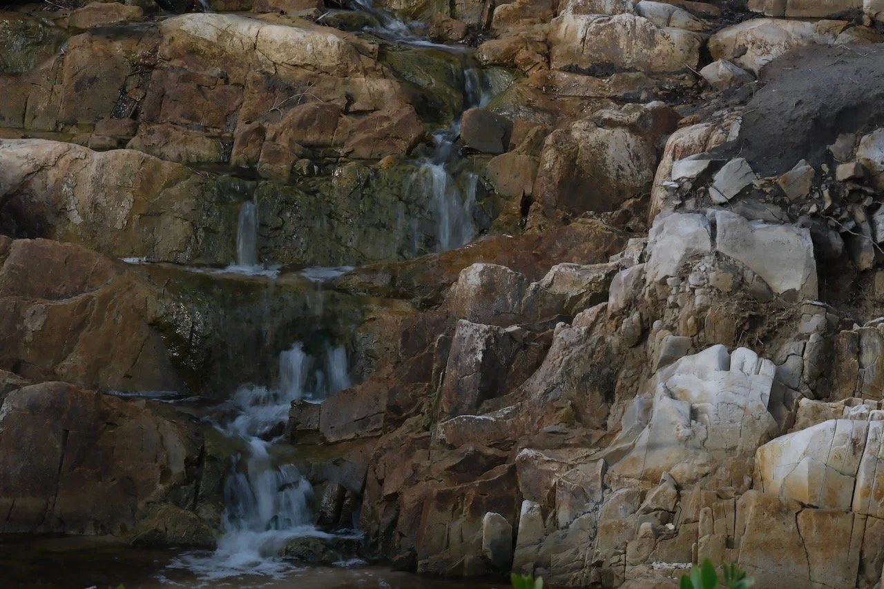
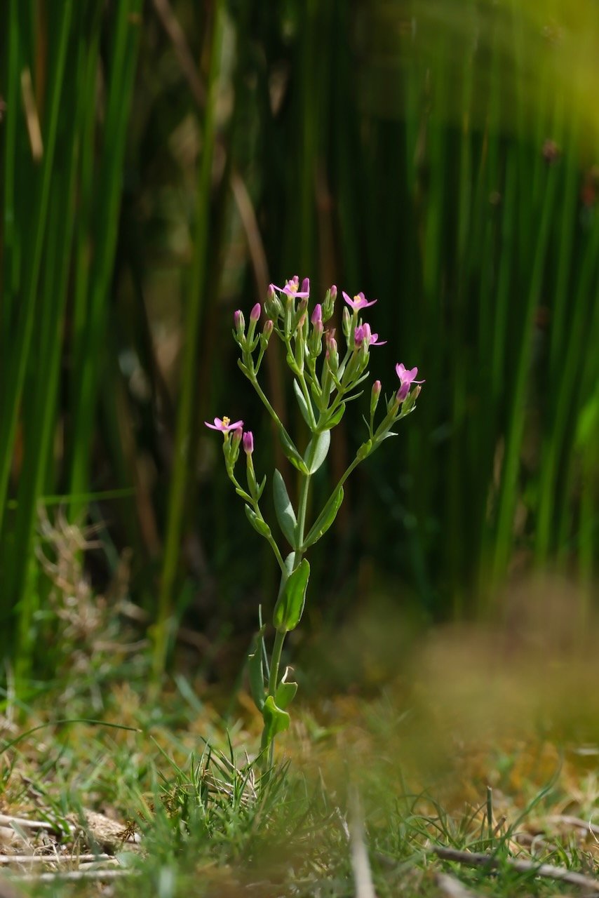
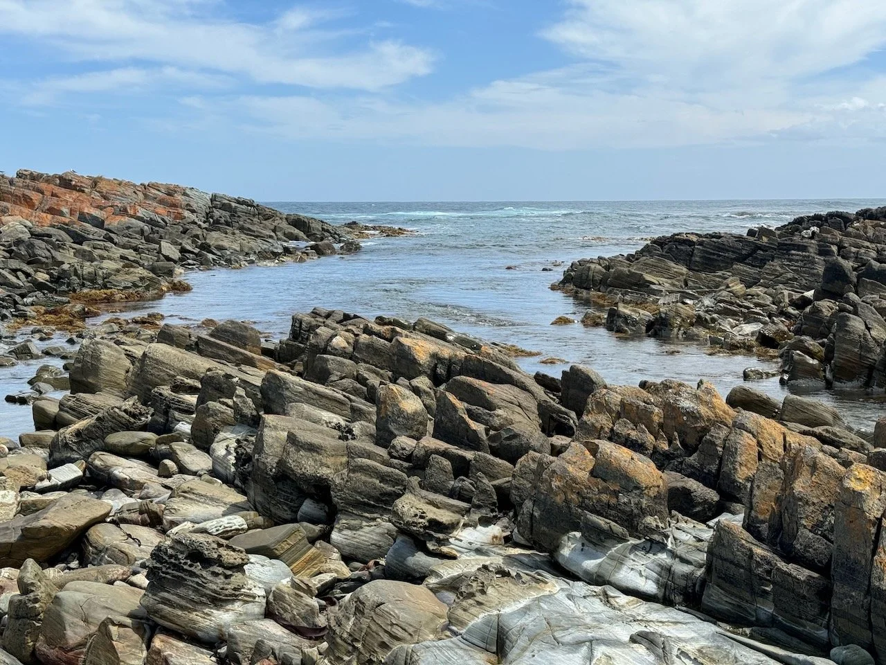
We headed through the next “fish shack” community up to the 4WD track passing between amazing rock formations all around us. We stopped briefly to scout around for a wild camp spot, since we had long passed the last designated sites. The views out to the coast line were pristine, in between the towering rocks were vibrant patches of flowering plants creating a juxtaposition of the rugged and the fragile. Finding no bare patches of sand, we moved on down the track to Couta Rocks where we could see the beach just ahead and our exit point taking us back to the main road for the last time.

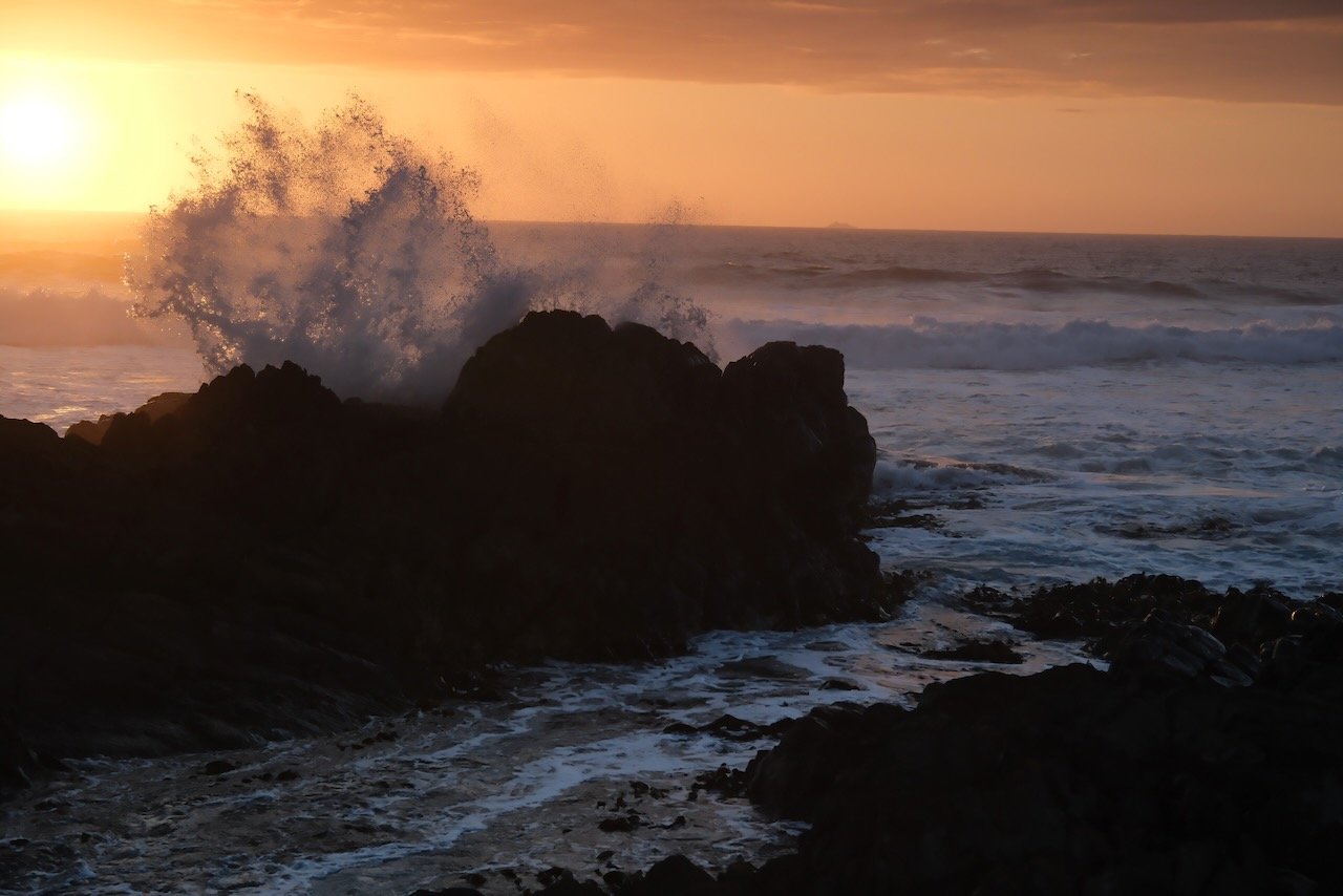
View from Sarah Anne Rocks


We searched more intently for anything that could work for a tent site. Scanning the scrub-laden dunes, I realized there was a shelf just above the sea rocks that might be in enough of a depression to be out of view from the 4WD track. After a final inspection, we setup camp with a front row seat to an evening sunset perched just above the waves crashing over the rocks below. It was a perfect spot to end our coastal track - that is until about 10 or so uninvited guests showed up in our inside our tent. The tent still bears witness to the massacre, as do my mozzie bitten extremities.

Couta Rocks Camp


Couta Rocks