Tasmania - Tarkine Rain Forest Loop
December 7 - 16, 2023

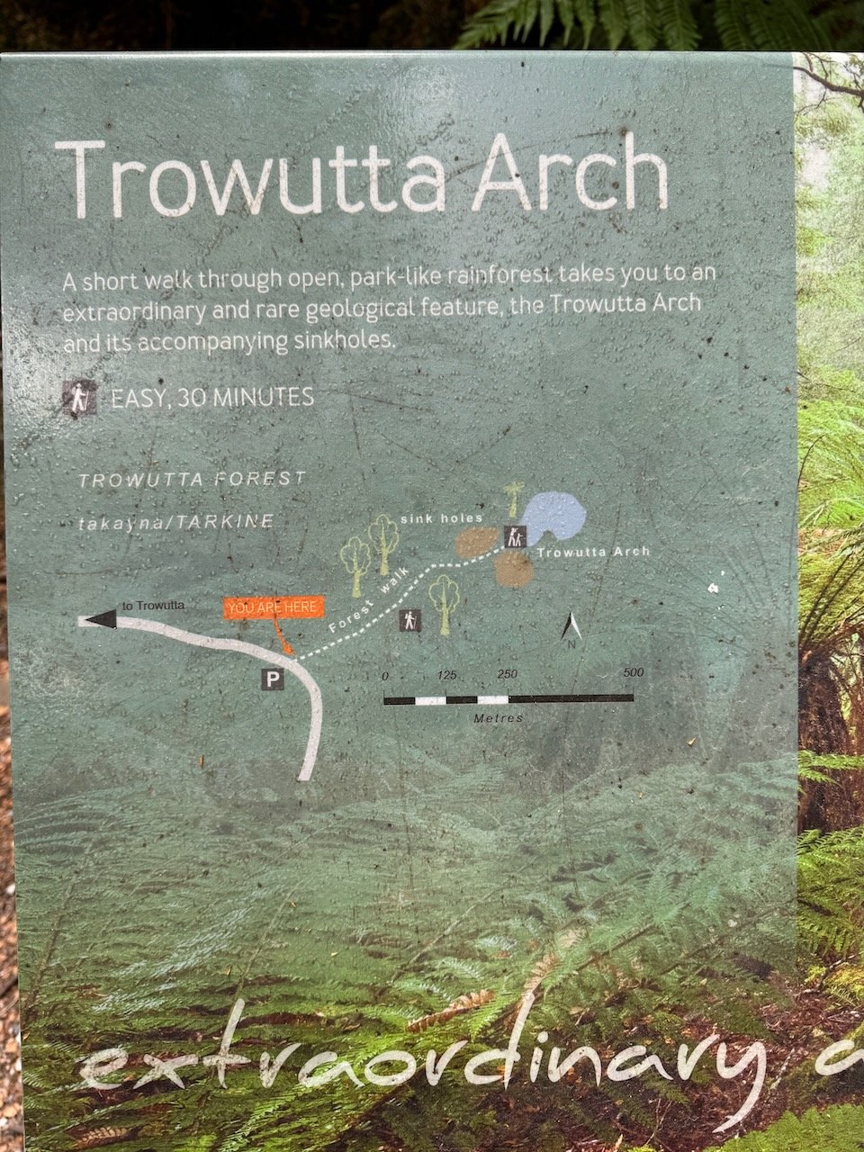
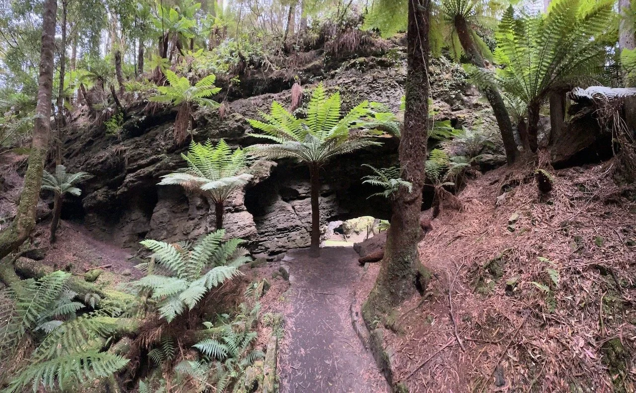
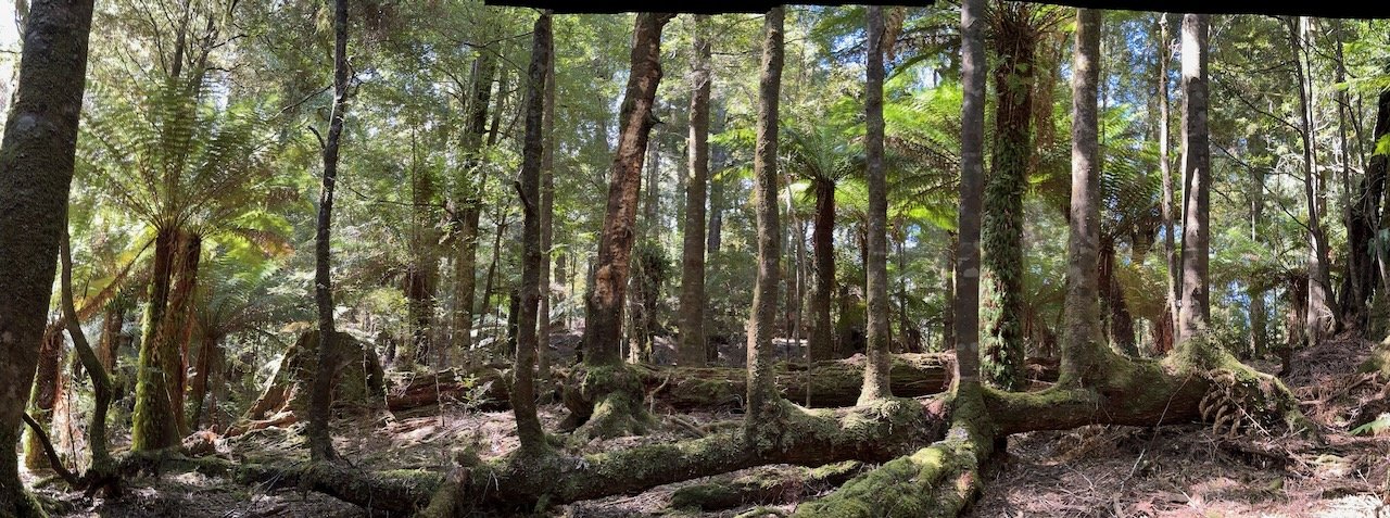
Trowutta Arch
Smithton was our last town for full resupply of all our essentials for life on the road - groceries, vitamins, spirits, and as it turned out a replacement power bank. (Our “new” Goal Zero power bank died after only 2 months of travel.) Our plan was to ride the inland loop of the Tarkine Drive through the second largest cool-temperate rainforest in the world, a remnant of Gondwanaland, and then return to Smithton for another resupply before continuing on to the coastal route. Rain was in the forecast for the next couple days, so we happily waited it out at our river-side campsite, before packing up to start the Tarkine Loop.


Amazingly, for the first 20km we passed through farmland on a fairly flat road, with a mild headwind of course, until we reached our turnoff heading into the cool of the forest. At the side of the road, over PB wraps, we debated whether to go clock-wise or counter, and decided on clock-wise, making Trowutta Arch our first stop. We wound up the hillside through the forest still passing houses on either side, until we reached the top of the hill and found more open farmland in all directions. Nivaun pointed out a cluster of trees off in the distance that he suspected would be the location of the Arch. We rode on, finally reaching the turnoff to a gravel road still passing through the middle of farms, and then in between plantations of Eucalypt, until quite magically, the rain forest rose up around us.
Trowutta Arch
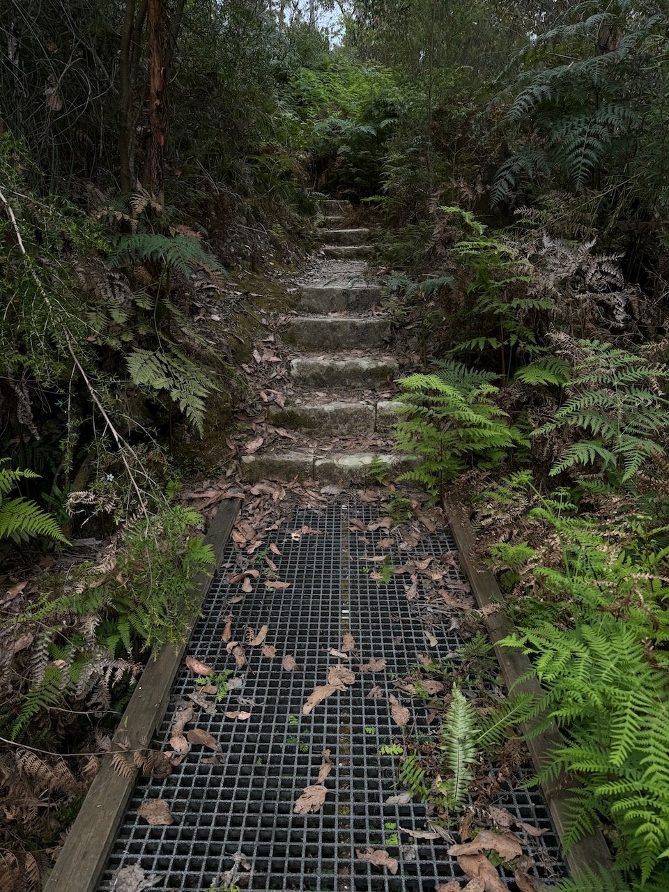
It was nearing late afternoon, when we arrived to find only a couple cars in the car park and no one around. Feeling the heat of the day and the uncertainty of where we could camp or find water, I opted to chill in my chair and watch the bikes while Nivaun took the 15 min walk back to see the arch and caves. As I watched a few people leave and others arrive, our neighbors from the caravan park in Smithton pulled in, recognized the bikes, and came over to say hello. After explaining our system for taking turns watching the bikes when we were out exploring, they offered to watch the bikes for us, but I assured them I was quite happy to relax in the shade until he returned. Not long after, they returned from their walk, and came over again, more insistent that I go ahead and meet up with Nivaun, as he was still there taking photos, and it would be even better to see it together. I had been struggling to stay awake in my chair, so this time accepted their offer.
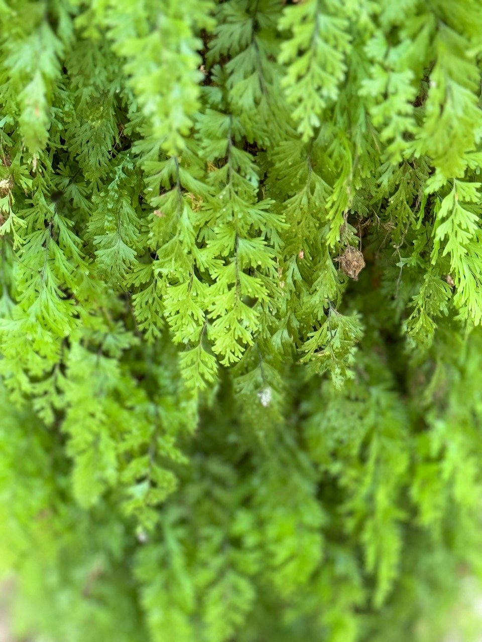
A few steps into the track, I felt the same awe of being in our own Olympic rain forest. The trees take on a majestic feel, the dense moss a lushness, and the fern and flowering plants a delicateness that makes the whole scene a sensory overload. I found Nivaun just starting back up the stairs leading down to the Arch, so we headed back down together to soak in the awe-inspiring display of rock and fauna at the end of the track. Peering underneath the arch, looking down into a sink hole covered in plankton, surrounded by man-ferns reaching up toward the sky, from underneath what had been the forest floor, felt simply prehistoric.


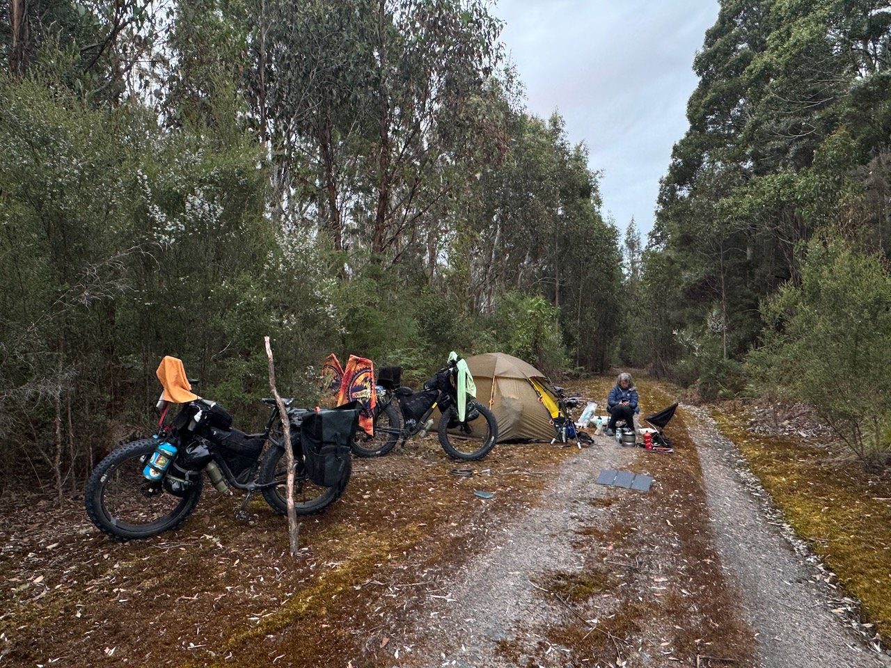
We arrived back at the car park to find our neighbors relaxing in their own camp chairs next to the bikes. All of us were surprised at our chance meeting, but actually they turned out to be our trail angels for the day. Before we parted ways, they filled our water bottles, and gave us a bonus bottle of cold sparkling water which we downed before leaving the car park. With our water needs magically met, all we had to do was find a campsite. The road continued on past the car park to a caravan turn around, so we decided to see if we could find a flat spot somewhere off the dirt track and within less than a kilometer, there was a perfect spot tucked out of sight for the night.
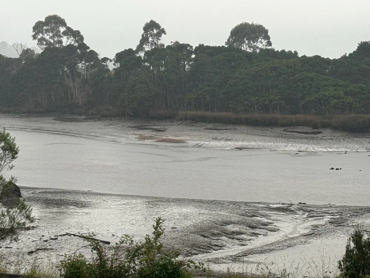
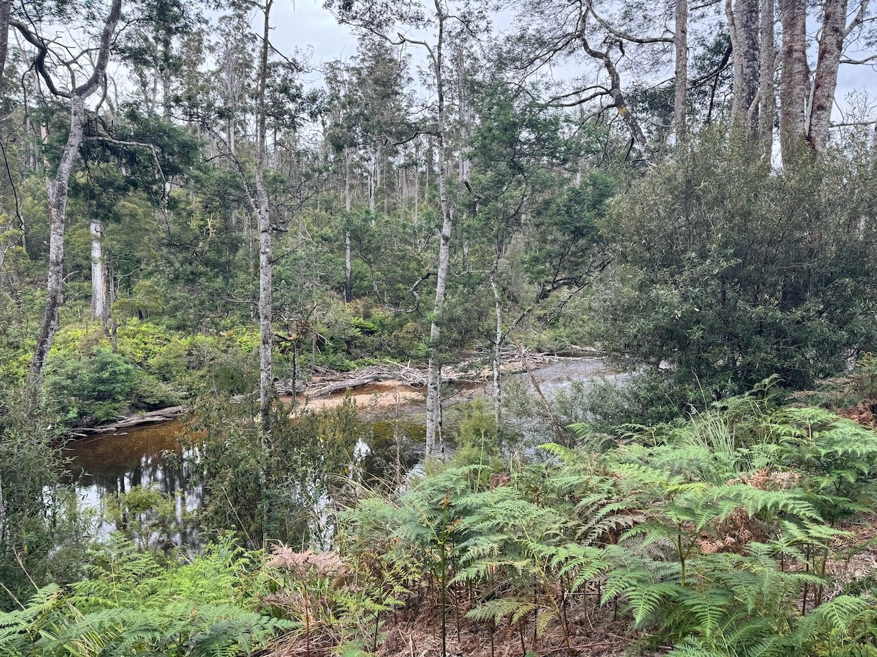
Arthur River
The farmland and plantations now behind us, a welcome feeling of remoteness slowly settled our minds to take in the expansive Tasmanian scenery around us, undisturbed by the occasional passing vehicle. The next destination to explore, according to the Tarkine Drive map was Milkshake Hills, but for us arriving at the Tayatea bridge over the Arthur River was a destination in itself worthy of a night’s stay. After watching exploration videos of the Arthur from our couch at home, we had to pay it due homage, now standing at it’s bank. We found a spot out of sight from the bridge and set about watching the river, the birds, and the sunset over hot cocoa (wishing we had brought our pack rafts).


Our caravan neighbors from Smithton had assured us that we chose the best direction based on the hills they had driven up going counter-clockwise. But the ride to Milkshake Hills let us know we were still in for some “moderate” hill training the rest of the way around. We quickly realized that every Devil caution sign meant another hill to climb.


Milkshake Hills

Milkshake Hills
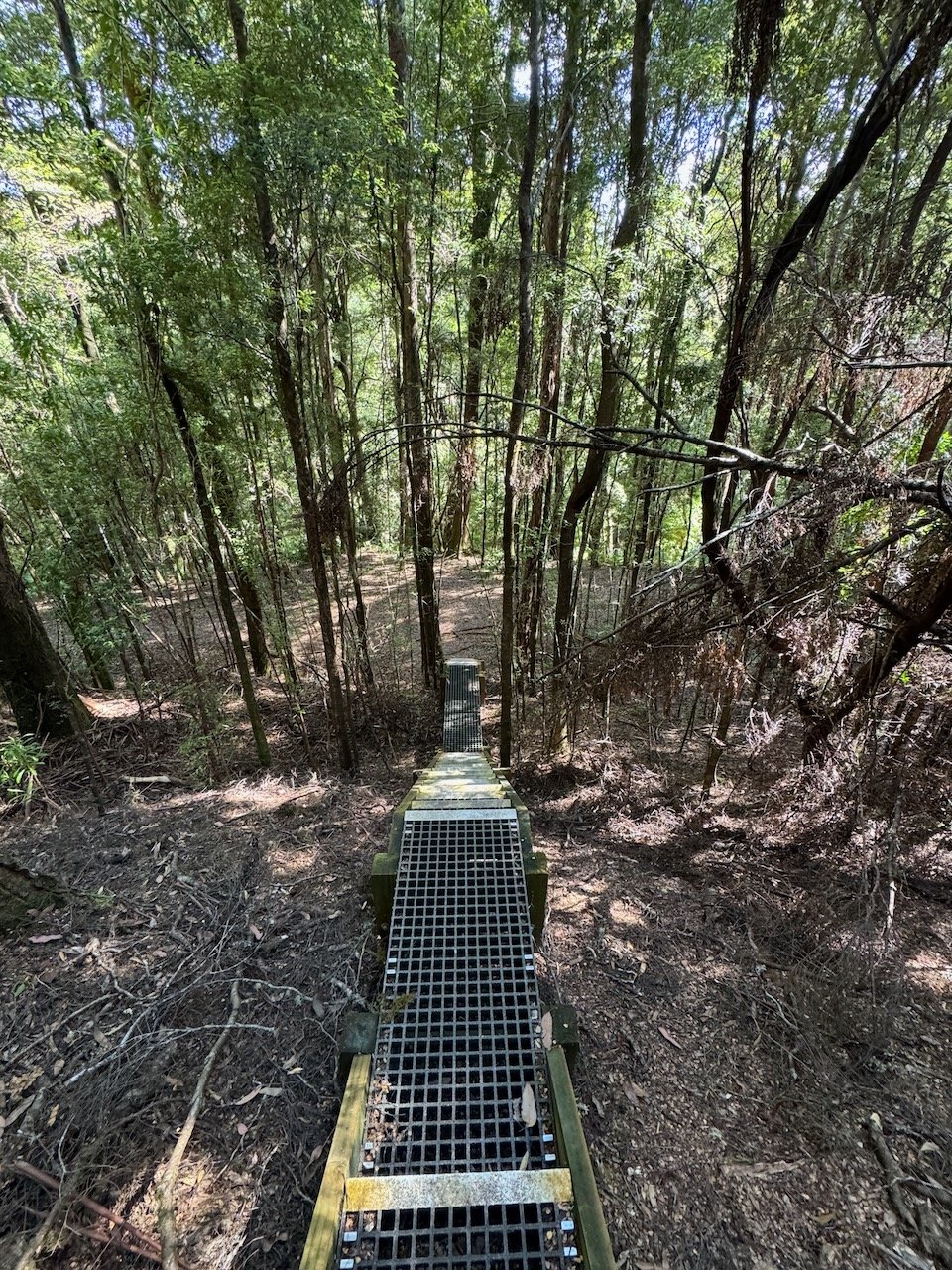
Milkshake Hills (nothing explained where the name came from) is where a walking track heads up out of the rain forest to a vista of the surrounding button grass plains from atop one of three neighboring hills rising above the landscape. Excited to reach an elevated viewpoint, I headed up the track first, while Nivaun watched the bikes. Within a few stair steps out of the wetland next to the car park - the views opened up across the surrounding hills and reached out to the edges of the coast and further south into Arthur-Pieman Conservation area.


To learn the landscape here had been shaped by the Aborigines thousands of years ago to create grassland areas for hunting, brought forth a deep sense of respect with every foot fall for all peoples that lived with nature and not in spite of it. Oh what it must have been like to live at that time - to know every plant, animal and how to survive along side them. Surveying the vastness of it all atop the hill, made all of our gear seem like a burden and the survival skills we claim to have highly deficient.

View from Milkshake Hills


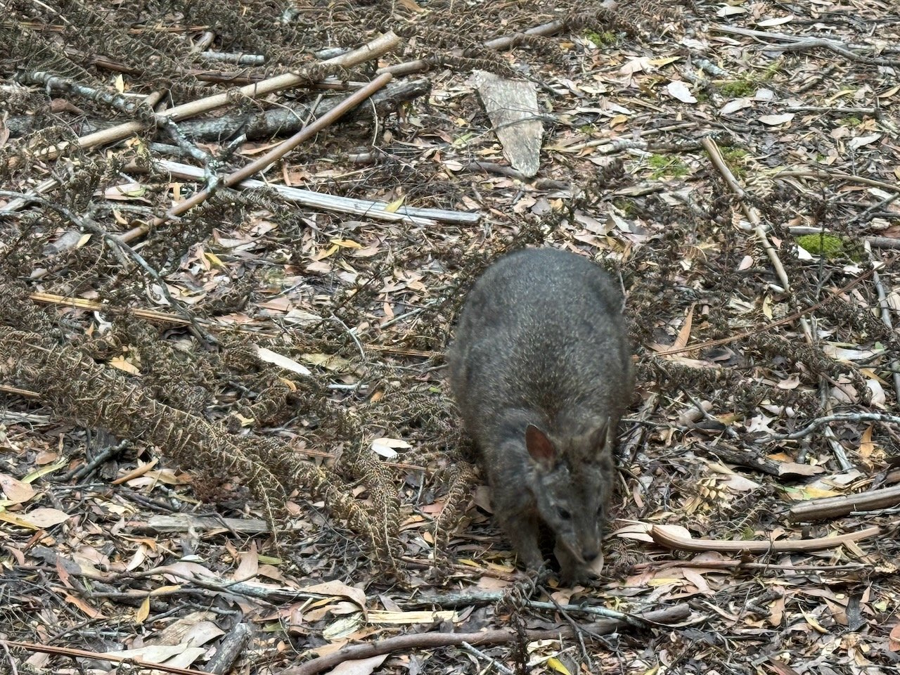
Relieved to find a water tank when we first arrived at the car park, we decided to stay awhile longer at the BBQ shelter for a snack break and then look for a campsite. It wasn’t long before we were joined by a small Pademelon and then a chance first meeting with a couple of Currawongs that at first, we mistakenly thought were Ravens. Unlike other Pademelons, this one wasn’t bothered by our presence. However the Currawongs appeared to be quite interested in us and our bikes, as they checked us out from the surrounding tree stumps, then the railing and the ground.


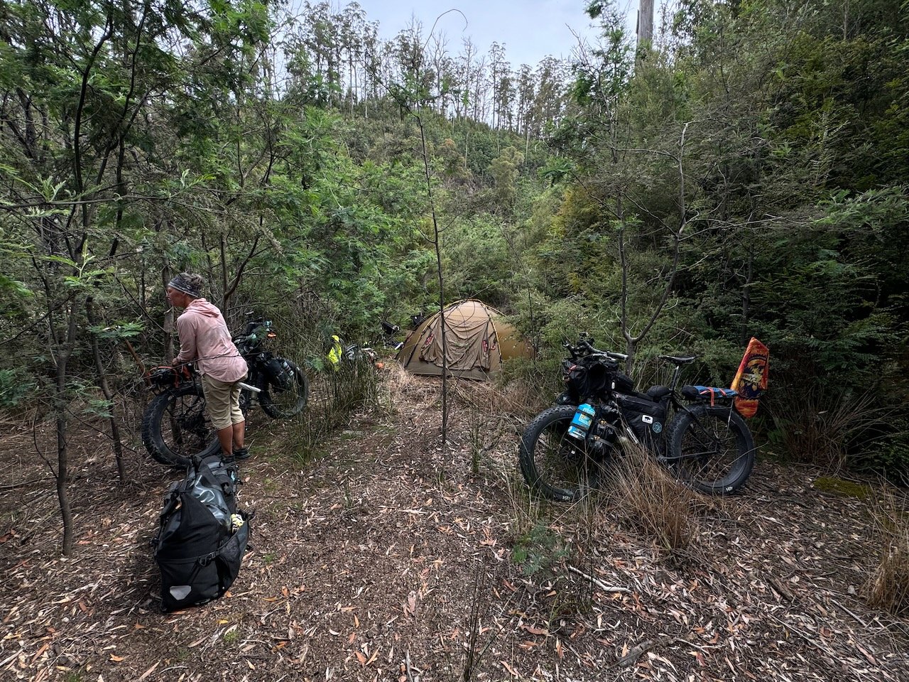
To find our campsite for the night, outside the reserve, we followed a section of road partially overgrown until we were a comfortable distance surrounded by forest on both sides. We fell asleep, now even deeper into the forest, hearing the last evening calls of the Currawong and woke the next morning to their greeting calls, welcoming in another day.


Over breakfast, we noticed movement down the road and realized through the camera lens, we were seeing our first full-size Wallabies, and one appeared to have a Joey in her pouch. But as soon as they realized we were just ahead of them, they bounded off into the brush.
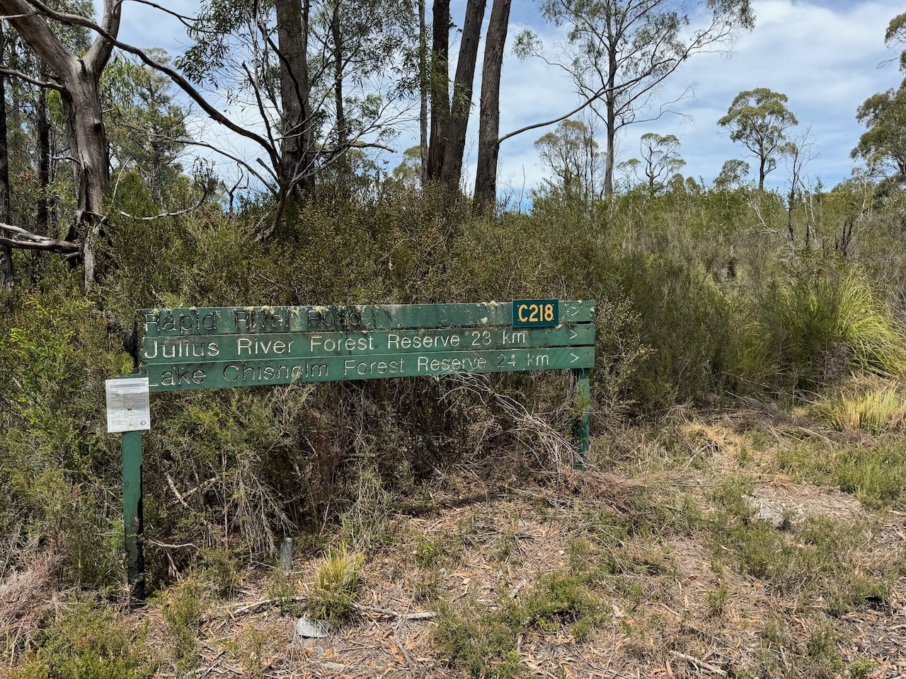
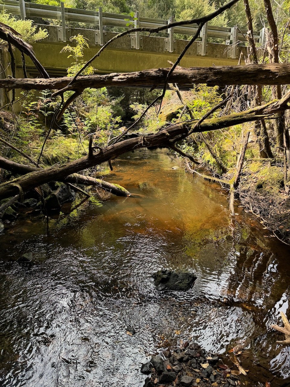
Rapid River

Not so Rapid River
By Day 4, after our morning hill climbing session, we arrived at the turnoff to Lake Chisholm and a moment of indecision. With the flip of a coin and reinforcement from the Currawong patiently waiting in the middle of the road for us to continue - we moved on past the turnoff and headed for Rapid River, ready to escape the heat and rid ourselves of accumulated sweat.
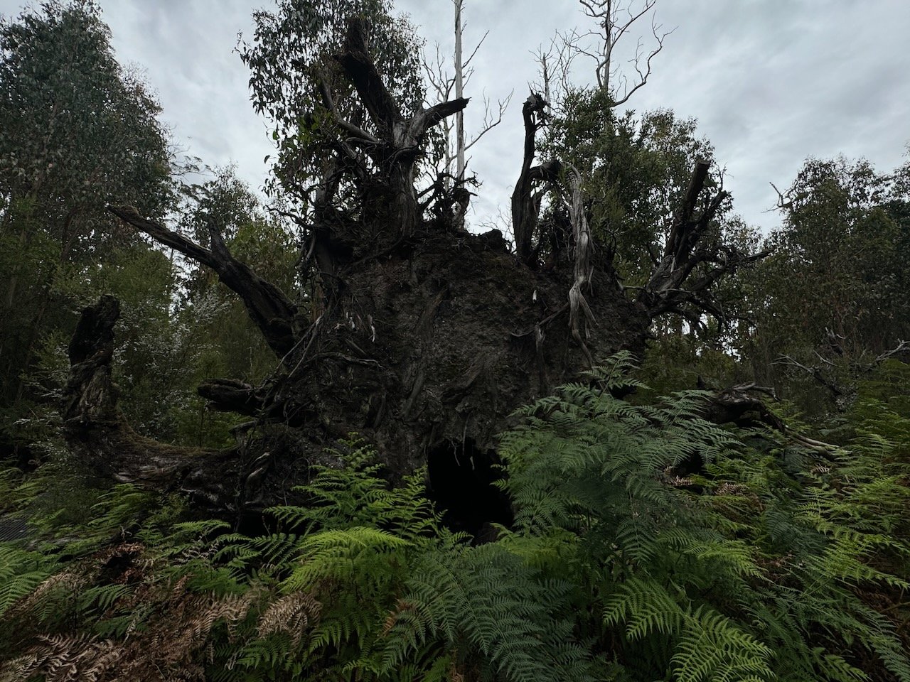
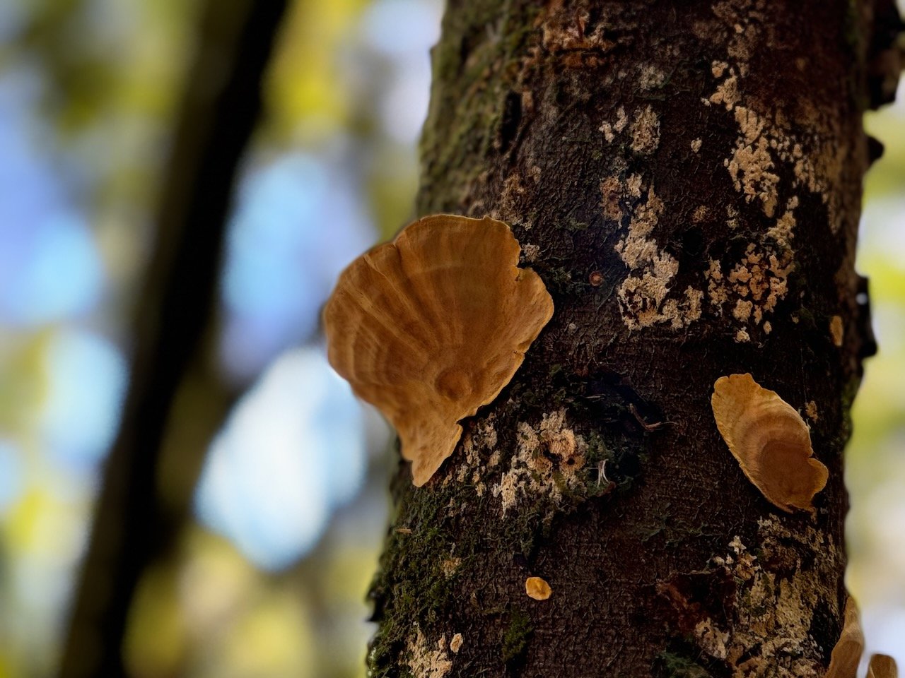
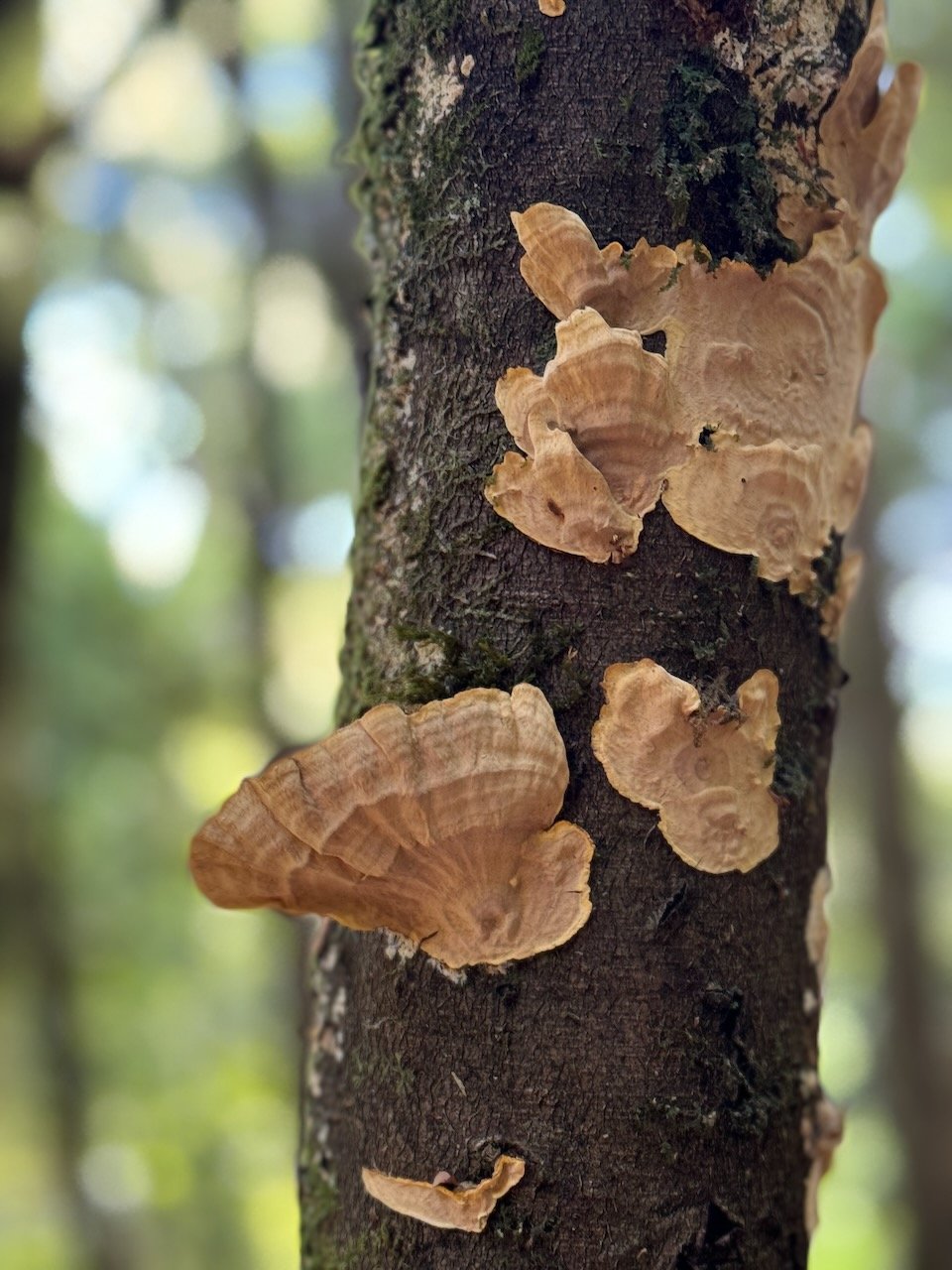
It was not yet the height of summer but most of the creeks had been dry, the rivers looked low and the rain forest, whilst a blanket of green, was clearly in need of moisture. It felt much like the recent changes we witnessed in the Olympic Rain Forest, and only increased my desire to know what the different seasons are like here - to walk amongst a rain-soaked forest experiencing the smells and the aliveness it brings is one of my most favorite.
Upon arriving in Australia, we never had jet lag, instead we were now feeling “season lag”. We were missing winter at home, and would head to Northern Australia next winter, which meant living in a perpetual state of summer (not my favorite season). We began to give serious consideration to whether the hype of winter here would really be as bad as locals make it sound.


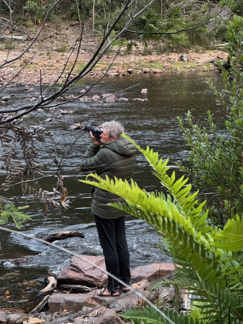
Julius River
Julius River was our last stop on the loop before meeting up with the Arthur, down river from our first crossing. We stopped briefly at the only designated caravan camping area along the loop to find several parking spots cut into the bush, but no water nearby, so we moved on down the road to the picnic area with a featured wetland walking track. There we found covered BBQ shelters and toilets with a water tank. We now had a sense for the rhythm of four-wheeled traffic along the loop and decided to wait until dusk to setup camp, and then head out in the early morning before being discovered. Thunderstorms were in the forecast for the next couple days. If we couldn’t find a stealth campsite along the Arthur again to wait it out, it would be a long and uncomfortable ride back to Smithton.
In the shade, the temperature was pleasant with only a slight breeze. Feeling the laziness of the afternoon, we debated over who would explore the walking track first, when we heard a loud crack, and then a definite thud that left no doubt, a tree had just fallen somewhere around us. Curious how close by it was - I headed to the walking track. After marveling at the trees along the way and finding no evidence of recent dead fall, I headed back to camp.


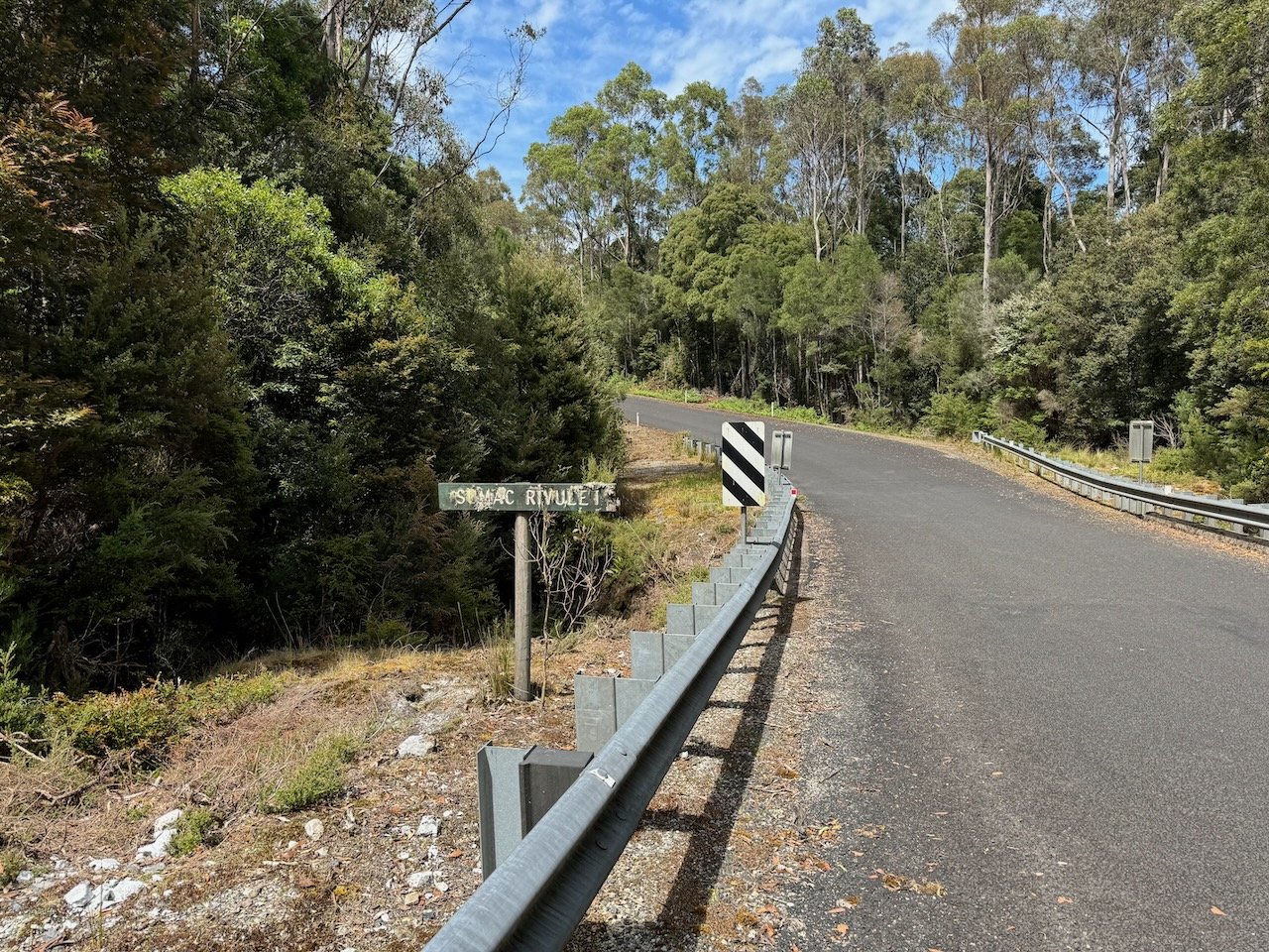
Sumac Look Out to Smithton
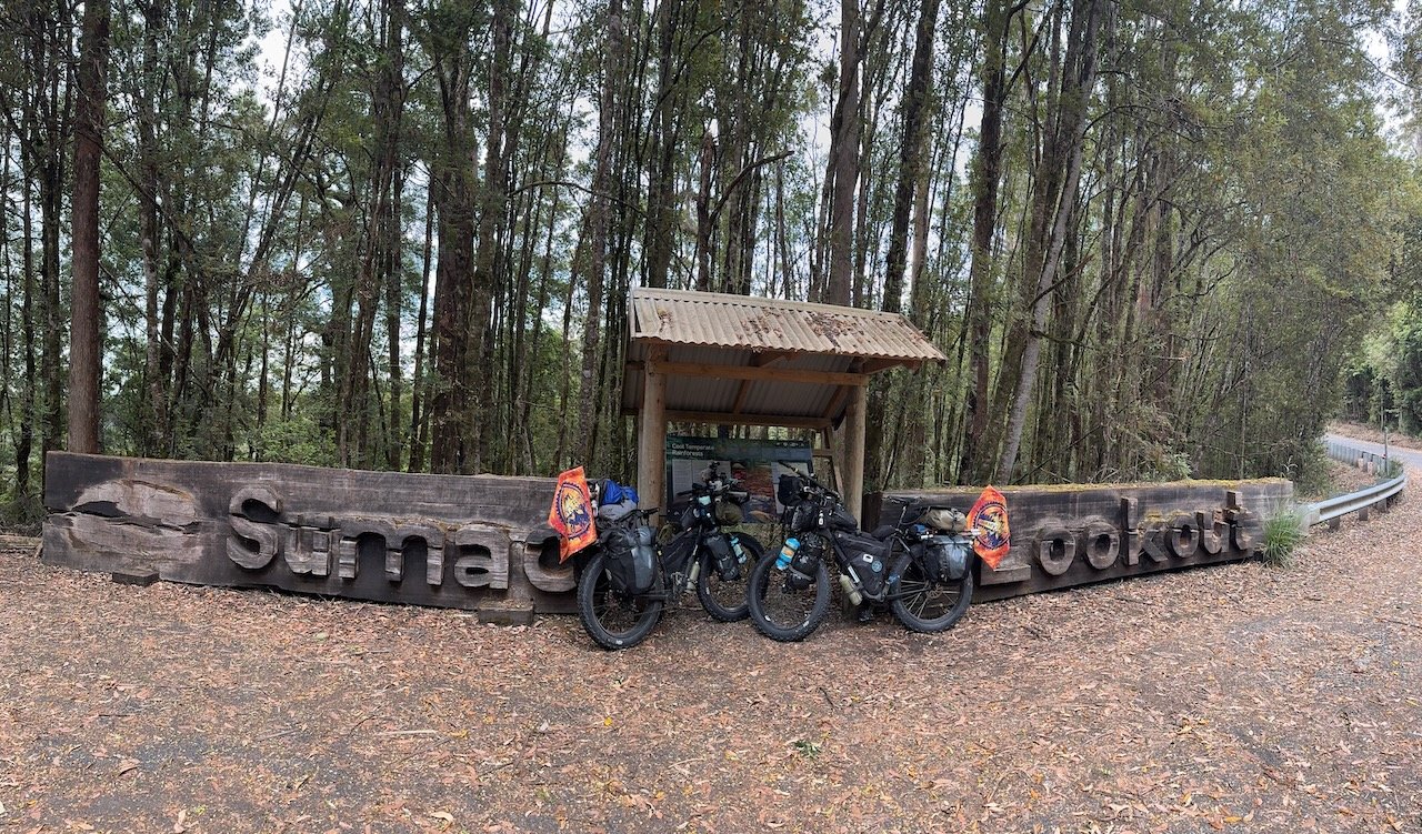
It was about 10:30am when we stopped at Sumac Look Out to check out the pile of black clouds building on the horizon. The tops of the towering Myrtle Beech and Eucalypt trees were now being tossed about in the wind and the rain looked to be headed straight toward the Arthur river below us. According to our weather sources, the storm would arrive at 11am, which left us just a few minutes to descend to the bridge and look for a campsite or at least a temporary shelter.
We passed “bridge work” signs on our way down and found a crew putting up new metal railings. Nivaun let them know in just a few minutes the storm was supposed to kick-in. They expressed their amazement that we were not on e-bikes and wished us well with a sentiment of “you wont ever find me traveling like that”.
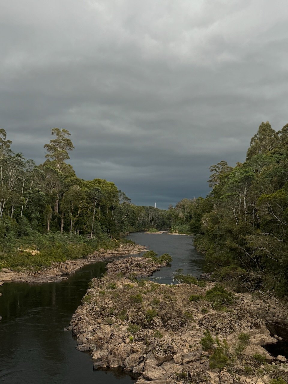
Thunderstorm approaching over Arthur River
Weather forecasts are almost always a hit-n-miss and rarely down to the minute - however, this time it was absolutely on the money. We crossed the bridge frantically looking for a campsite with just minutes to spare. Nivaun spotted a dirt road on the right just off the side of the bridge and headed down. I continued around the corner to see what was past the construction trailer.
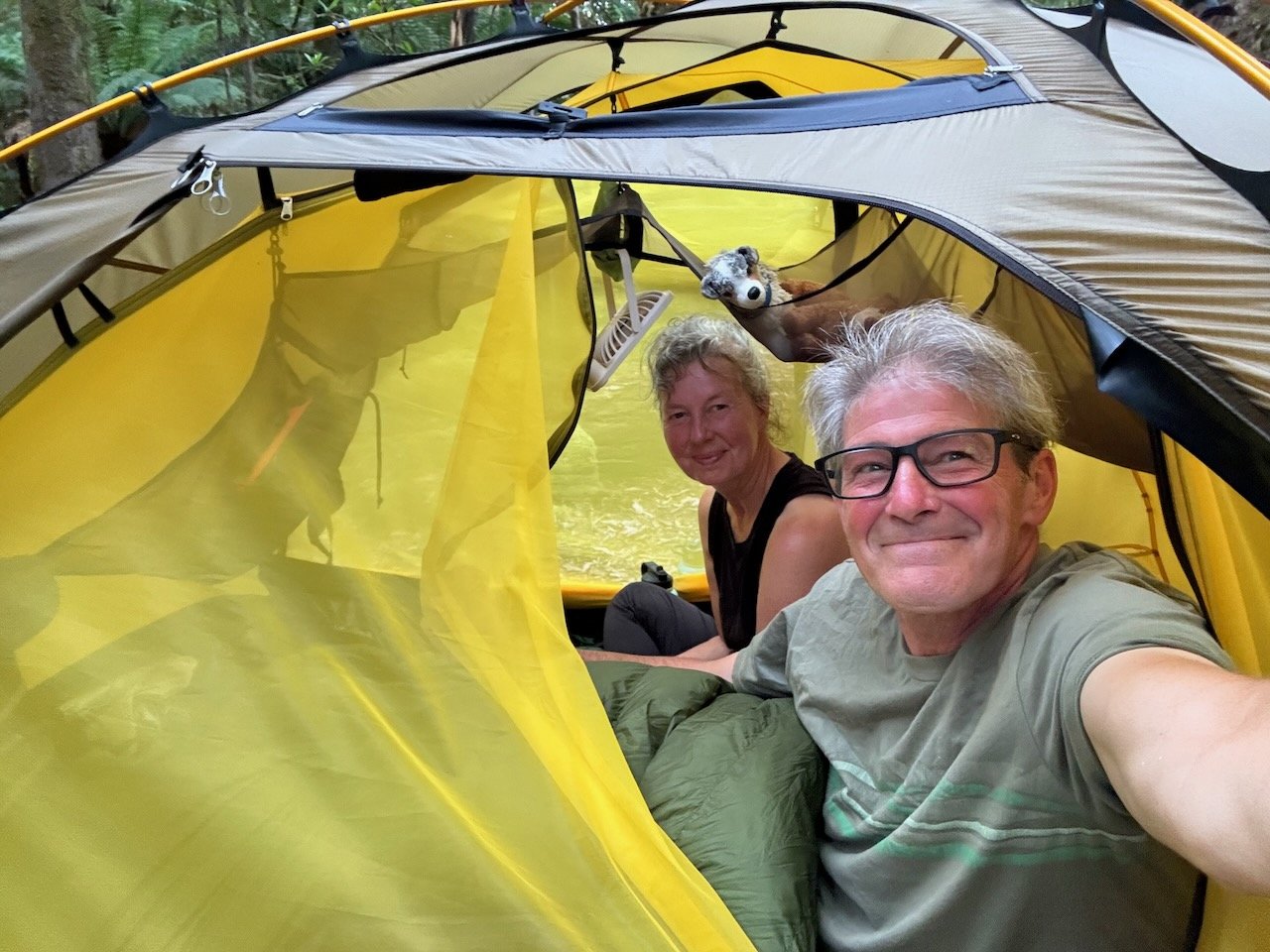
Unbelievably, a historic-looking road-side shelter, with a table and just enough space to get our bikes in as well, appeared out of nowhere, like it was all part of the plan. Conveniently it was a two-sided shelter. We opted for the far side, where a van, with all the windows covered, was parked alongside. At 10:59am, the sky opened up and the rain fell in a torrent. A few seconds later, the bridge crew piled in on the other side of the shelter as well. We broke out our chairs and some snacks and watched in amazement - we were dry, our bikes were dry, and all around us the clouds crashed, the winds roared and the rain pelted. Another perfect example of why “we will always travel like this”. We may not possess the skills and the knowledge of the first peoples, but at least bike travel never ceases to remind us, the universe will still take care of you, if given the chance.


With time to contemplate the mundane, we began to speculate about why this van was parked here and where the occupants might have gone. The obvious was that they must be on the river but hopefully not in this storm. As the thunder and rain began to subside, up walked the occupants in full dry suits with pack rafts in hand. We were amazed and delighted to meet up with them to learn more about what it is like to navigate the rivers at these lower levels and where we might be able to rent gear at some point. After a good chat, we decided to head out in search of a campsite, or if the weather had really broke, to head for Smithton. After hesitating at a spot Nivaun had found on the map less than a mile down the road, we decided to keep going.
The skies had cleared. But we soon discovered, the wind had not. As soon as we left the cover of the low land forest and returned to open farmland, the headwinds hit us full force. Just before reaching the intersection where we had started our loop, a road-side pull out with benches called out to us to take a break.
After sitting a few minutes, realizing we had reception again, we decided to call ahead to the caravan park and let them know we would be returning some time that night. Instead of the usual exchange ending with “Ok, we will see you when you get here” - this time it was - “How far away are you? And don’t you have a headwind? Well, wouldn’t you like me to come pick you up?” Dumbfounded and seeming too good to be real, we of course questioned whether the vehicle was big enough for our bikes and gear. Elated by the reply, “Well, I do have a Ute that can carry most anything”. So for the next 30 minutes, we unpacked all our gear and sat waiting on the bench at the side of the road. Oddly, the wind had somehow disappeared.

Waiting for our Ute
How ironic we thought, now that we have a ride - that is until we loaded up and were headed toward Smithton, the wind ferocity increased the closer we got to town. Once again, we had been rescued and delivered back to our same campsite in the caravan park with just enough time to setup the tent before the storm raged on through the night.