Tuolumne Meadows
Ride stats: 17.2 miles, 968’ Ascent, 1,524’ Descent
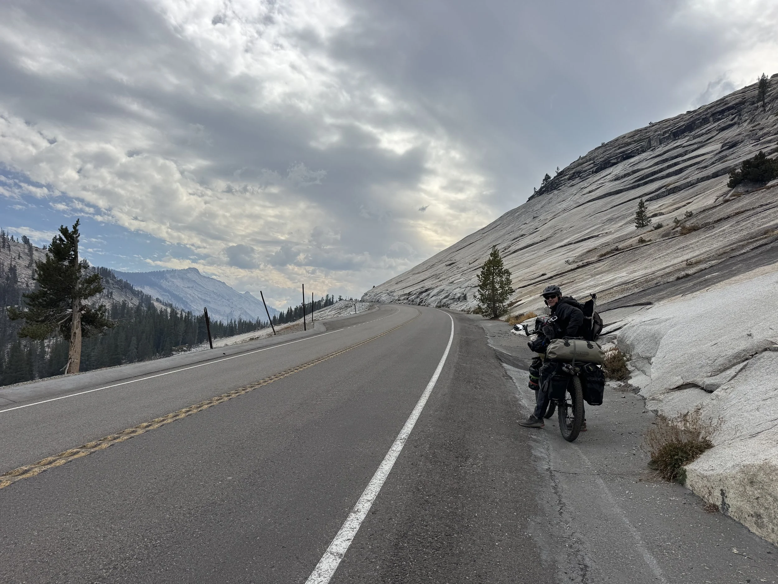
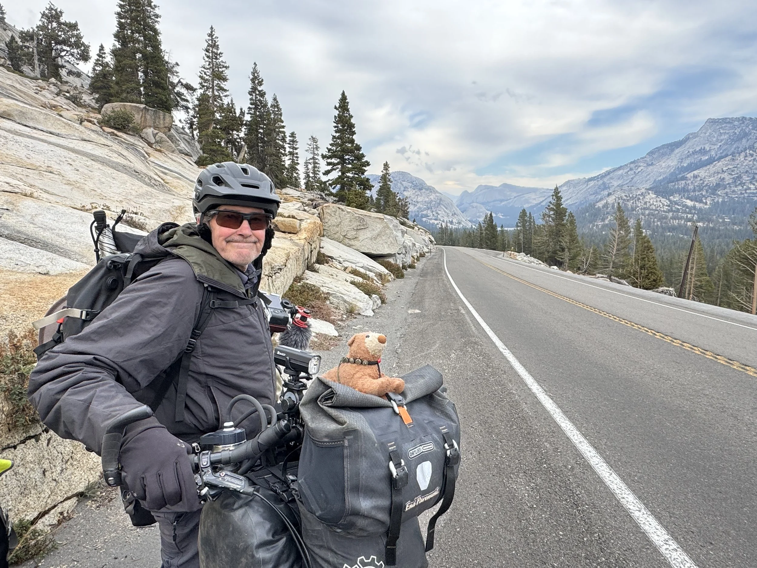
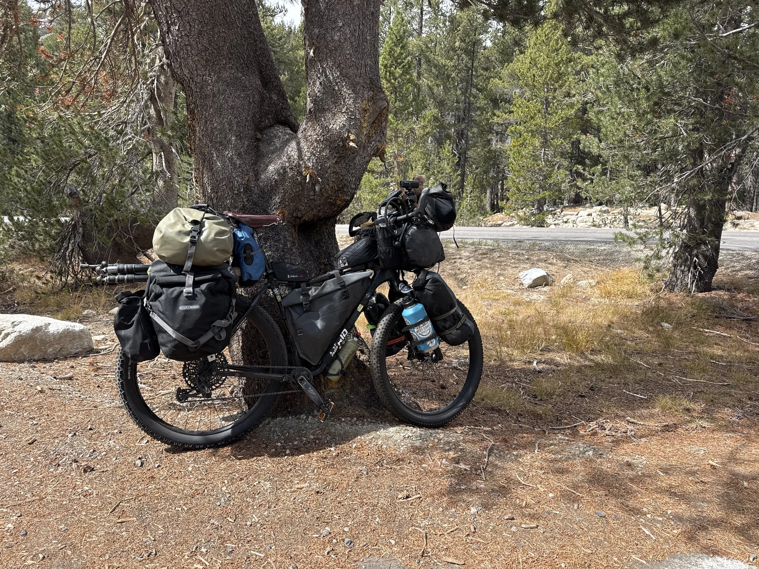
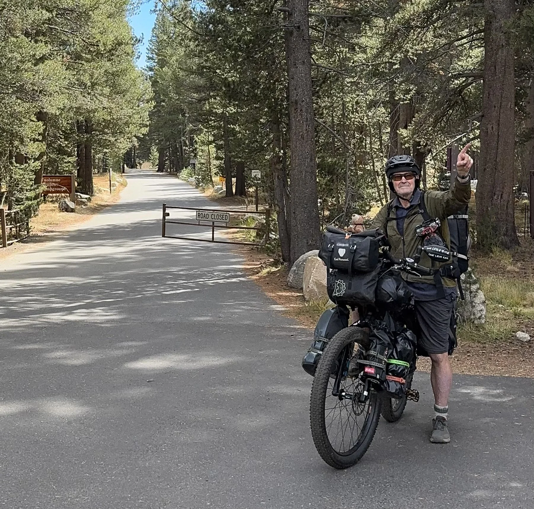
I’m convinced - of all the things that people “think you need” to travel this way - the most important are spontaneity, flexibility and of course a little bit of trail magic. Somehow we had turned a three night reservation, made only a couple weeks ahead of our arrival, into five, and with no itinerary, managed to hike four of the five trails nearby, every day meeting incredible people along the way. Tuolumne matched our travel vibe so well, it was hard to leave, but the gates were closing behind us. Nine days into our trip, our steeds fully loaded, it was time to point our wheels westward.
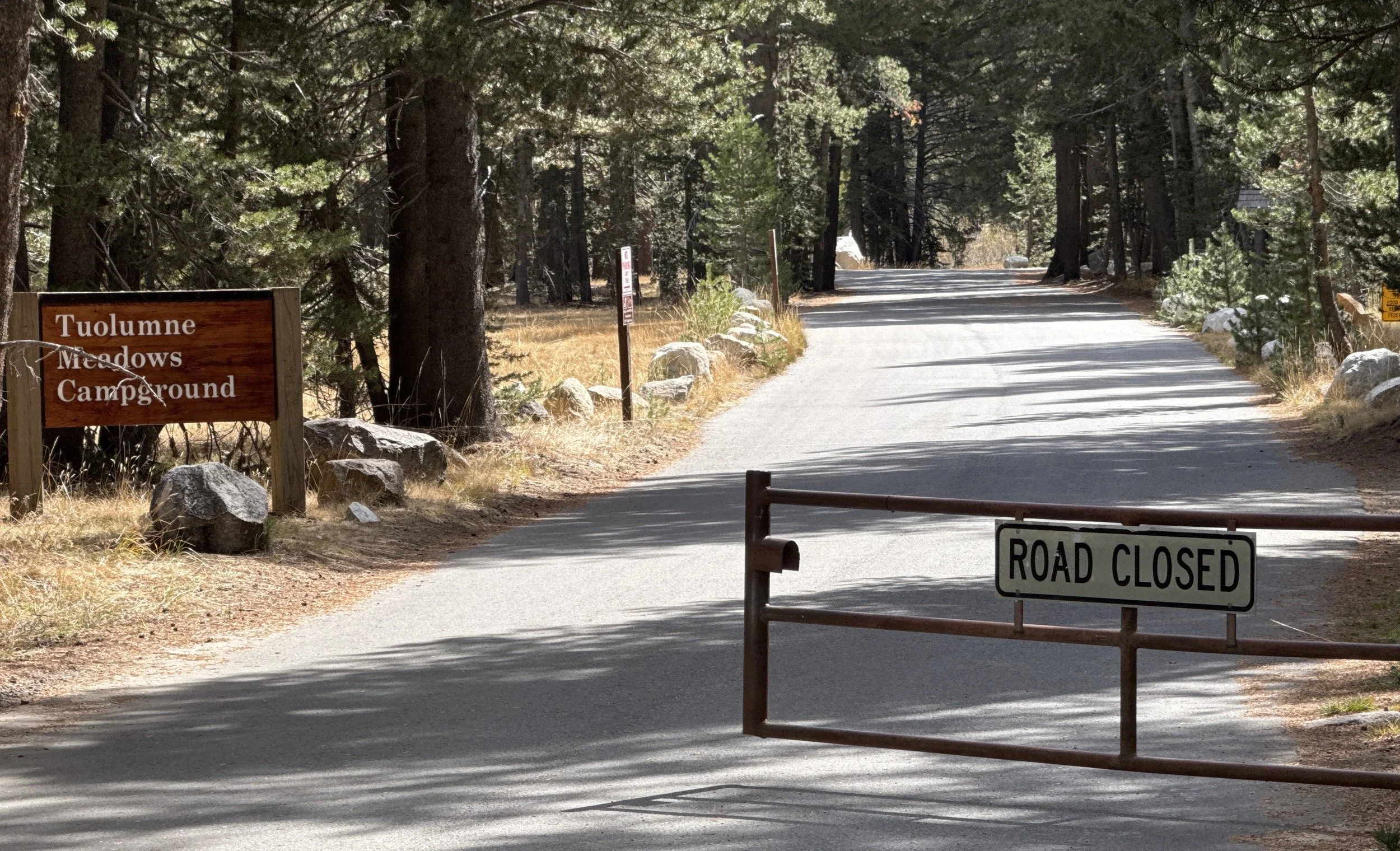
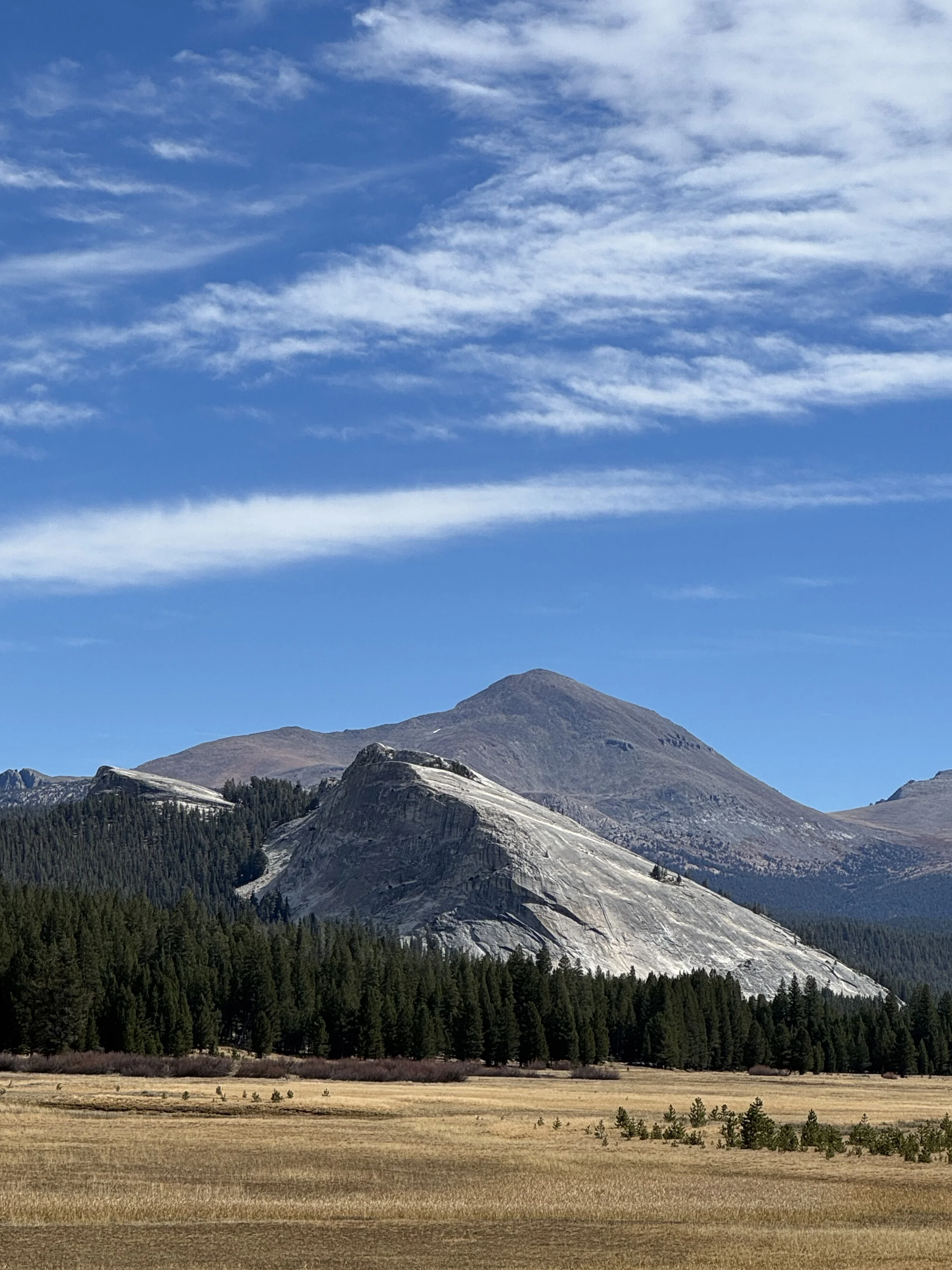
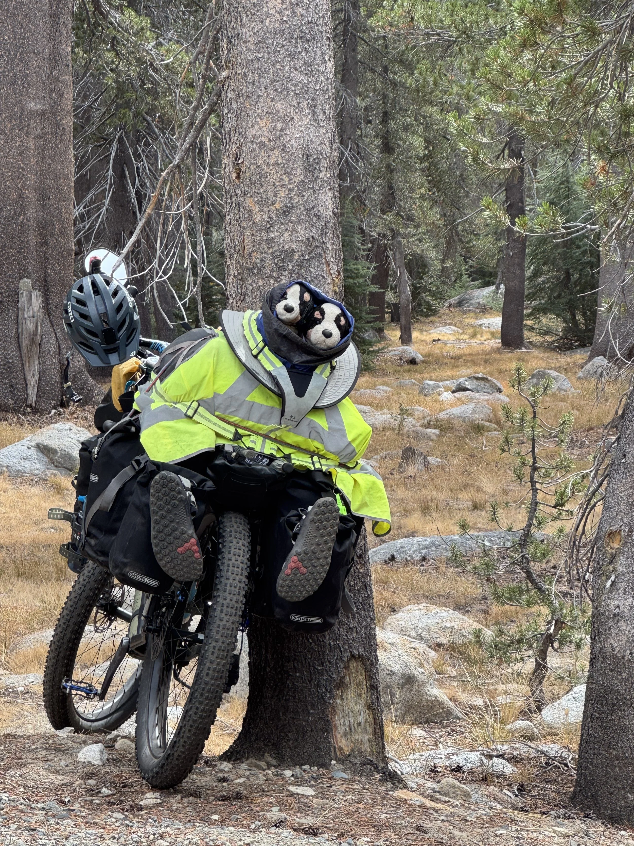
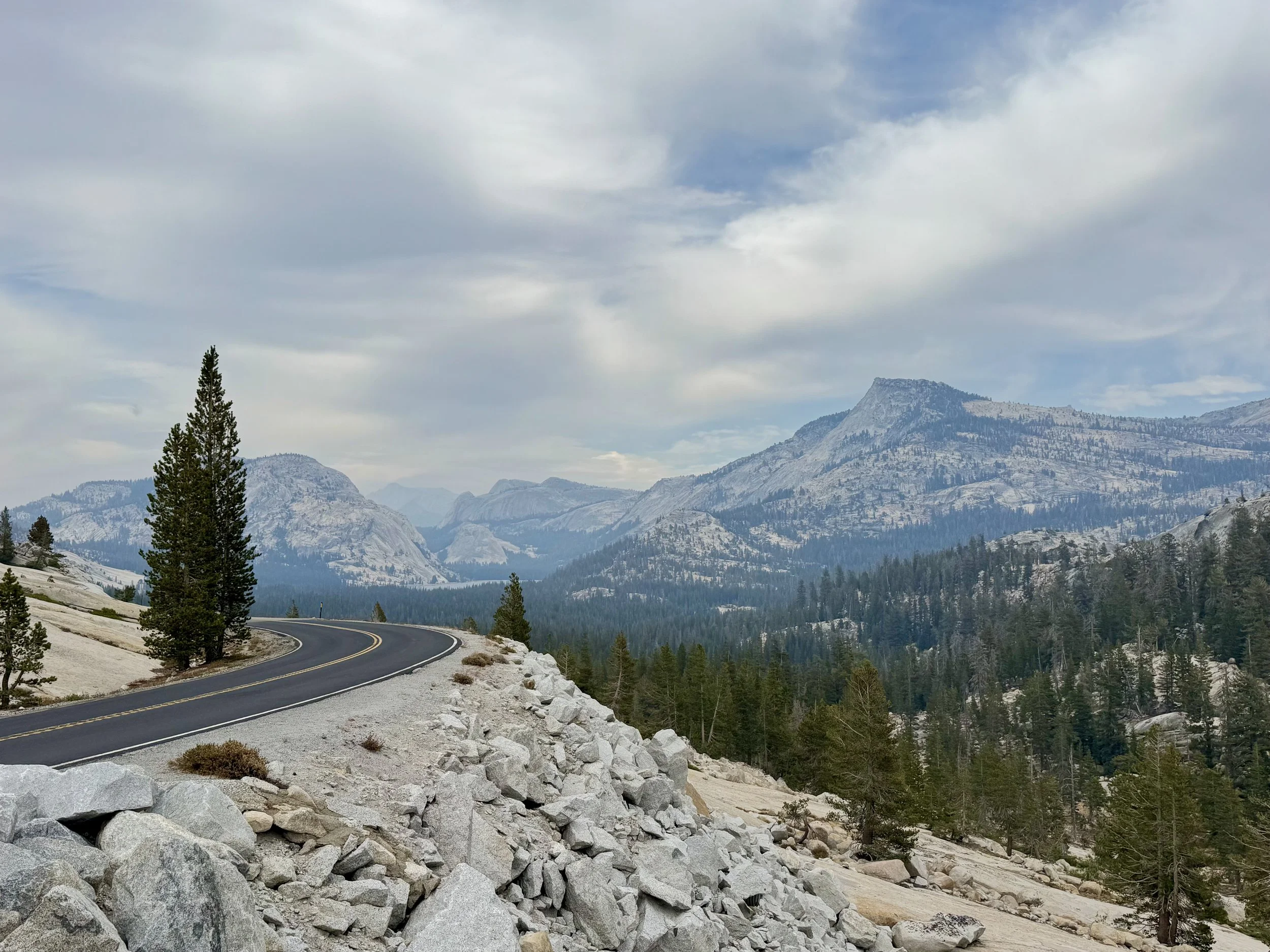
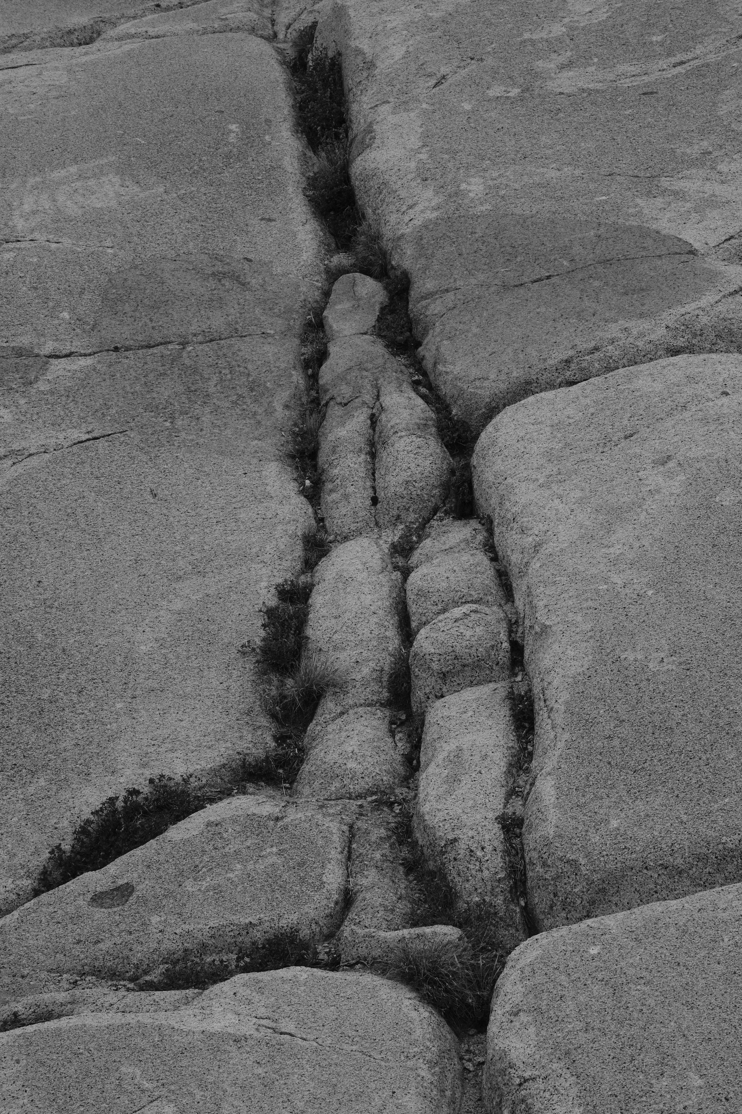
Tuolumne campground is just seven miles from the Tioga Pass/east park entrance. Other than Lembert Dome, that literally sits at the edge of the road across from the campground, we had to hike in at least a couple of miles, or several more, to close the distance between us and the craggy peaks and alpine lakes surrounding Tuolumne Meadows. To our amazement, over the next sixteen miles, the granite enveloped us from all sides inviting us to explore it’s slabs, littered with spheres of a planetary design full of bumps, ridges, cracks and veins. We reveled in the fact that we could easily pull off on a whim to go explore, or to simply stand in awe.
Roadside Musings
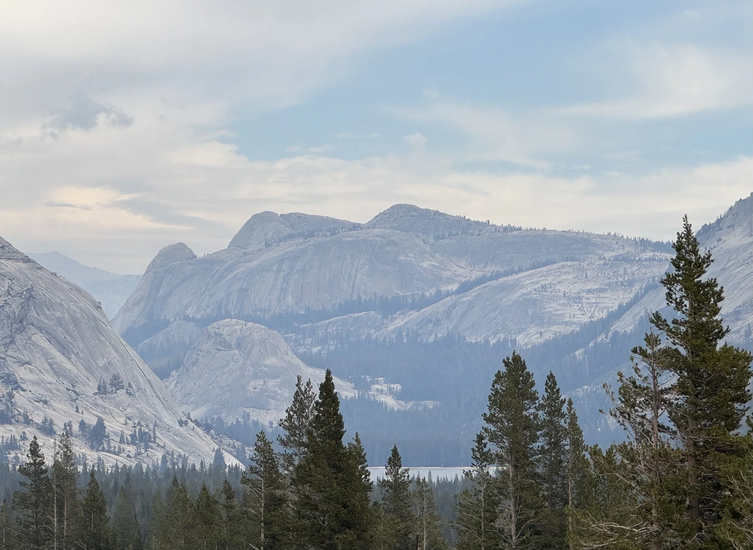
Fairview Dome, Cathedral Peak, Tressider Peak (LtoR)
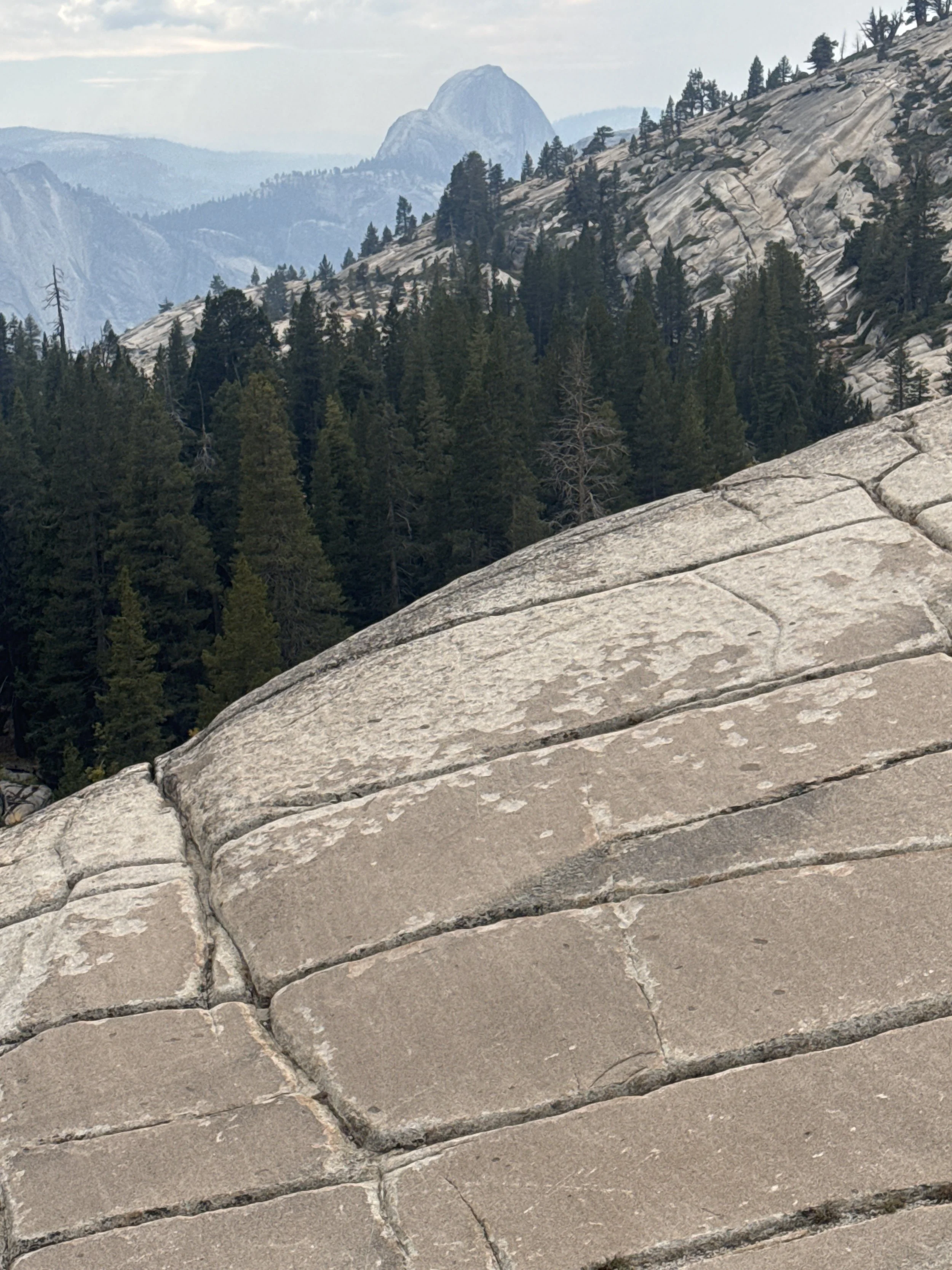
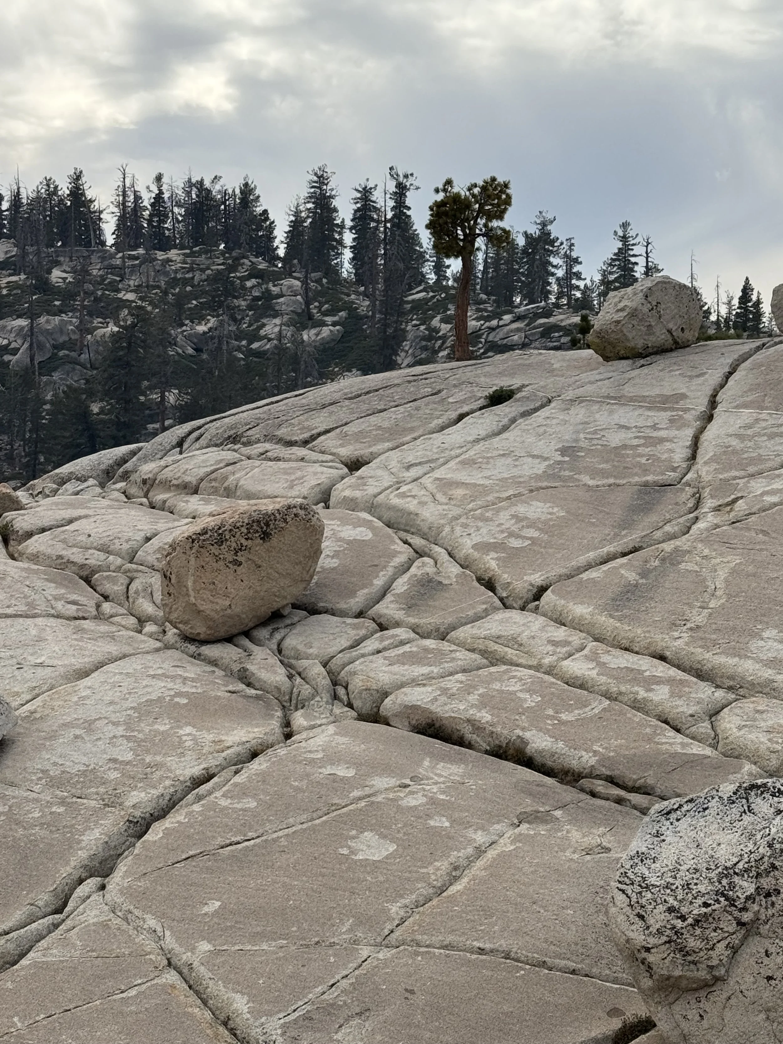
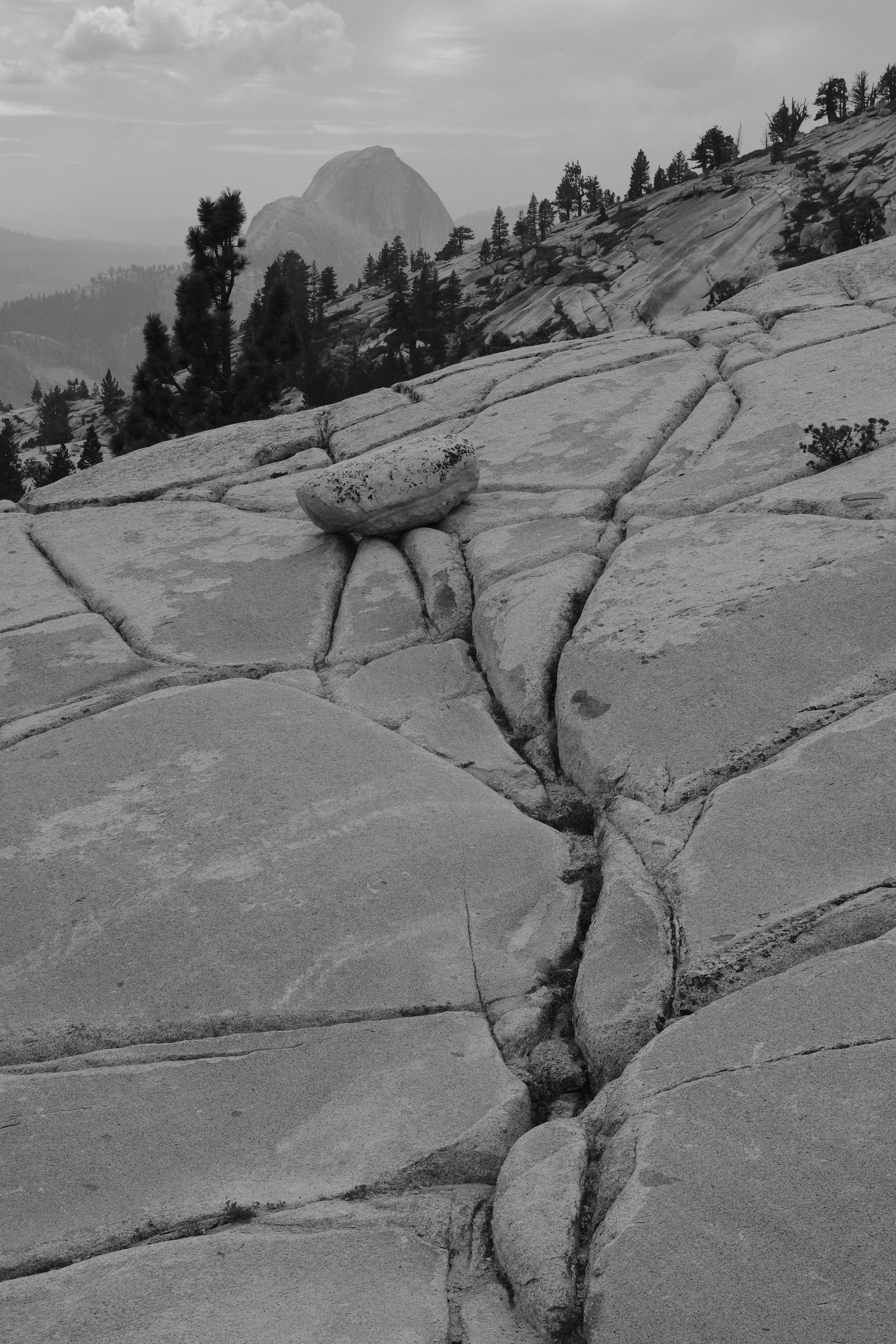
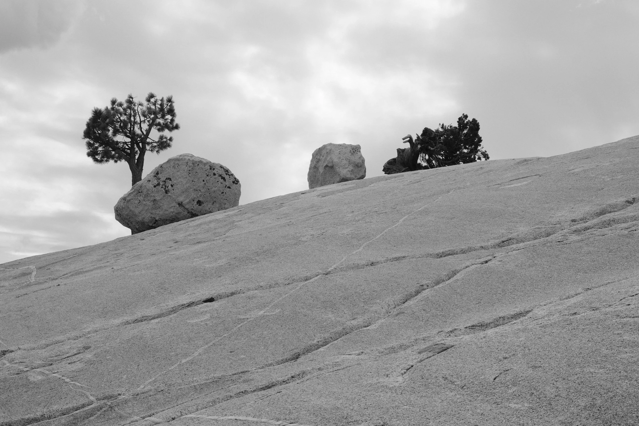
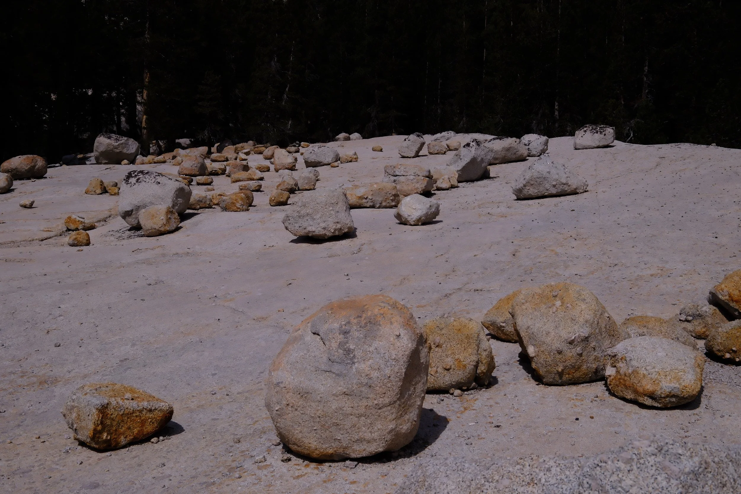
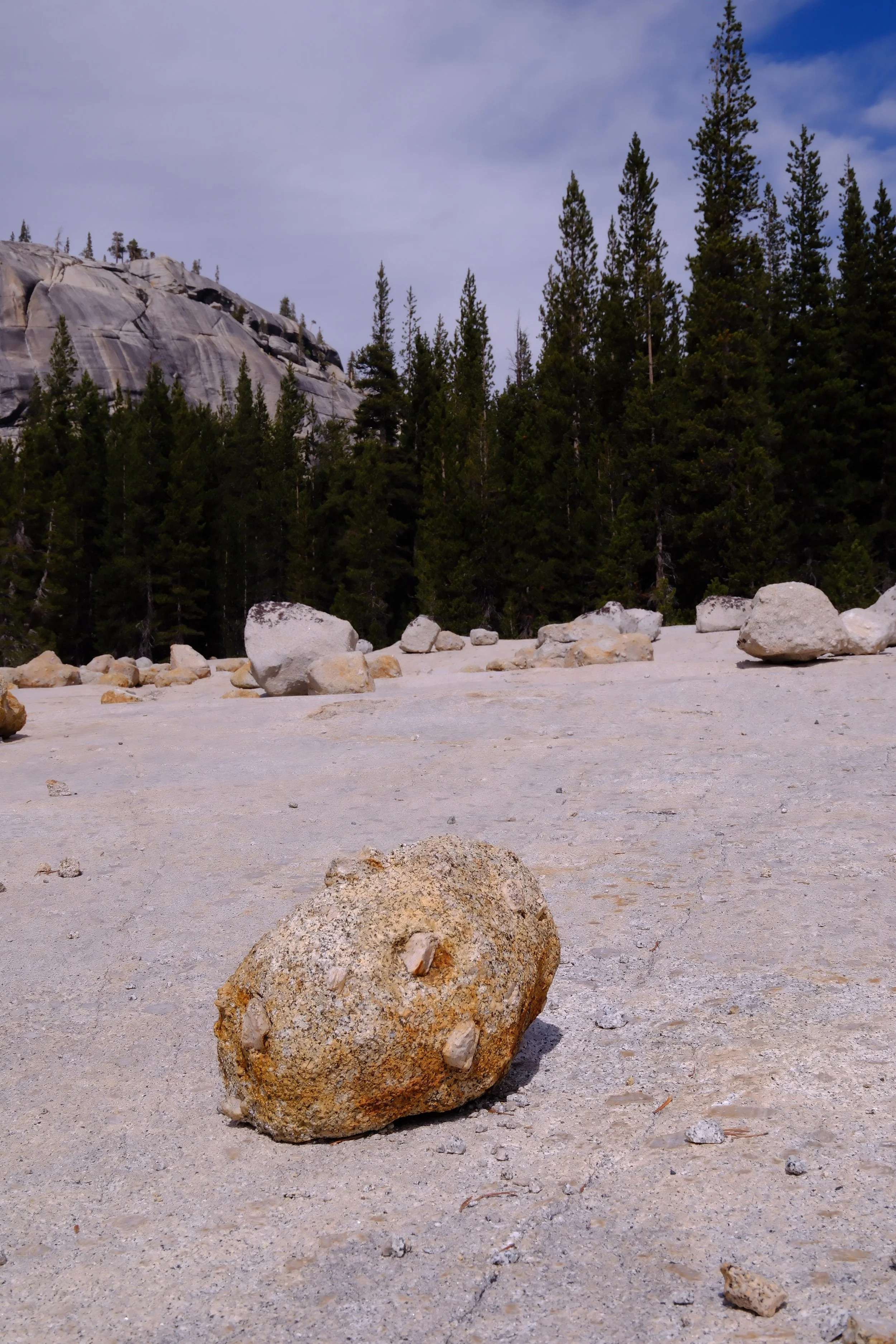
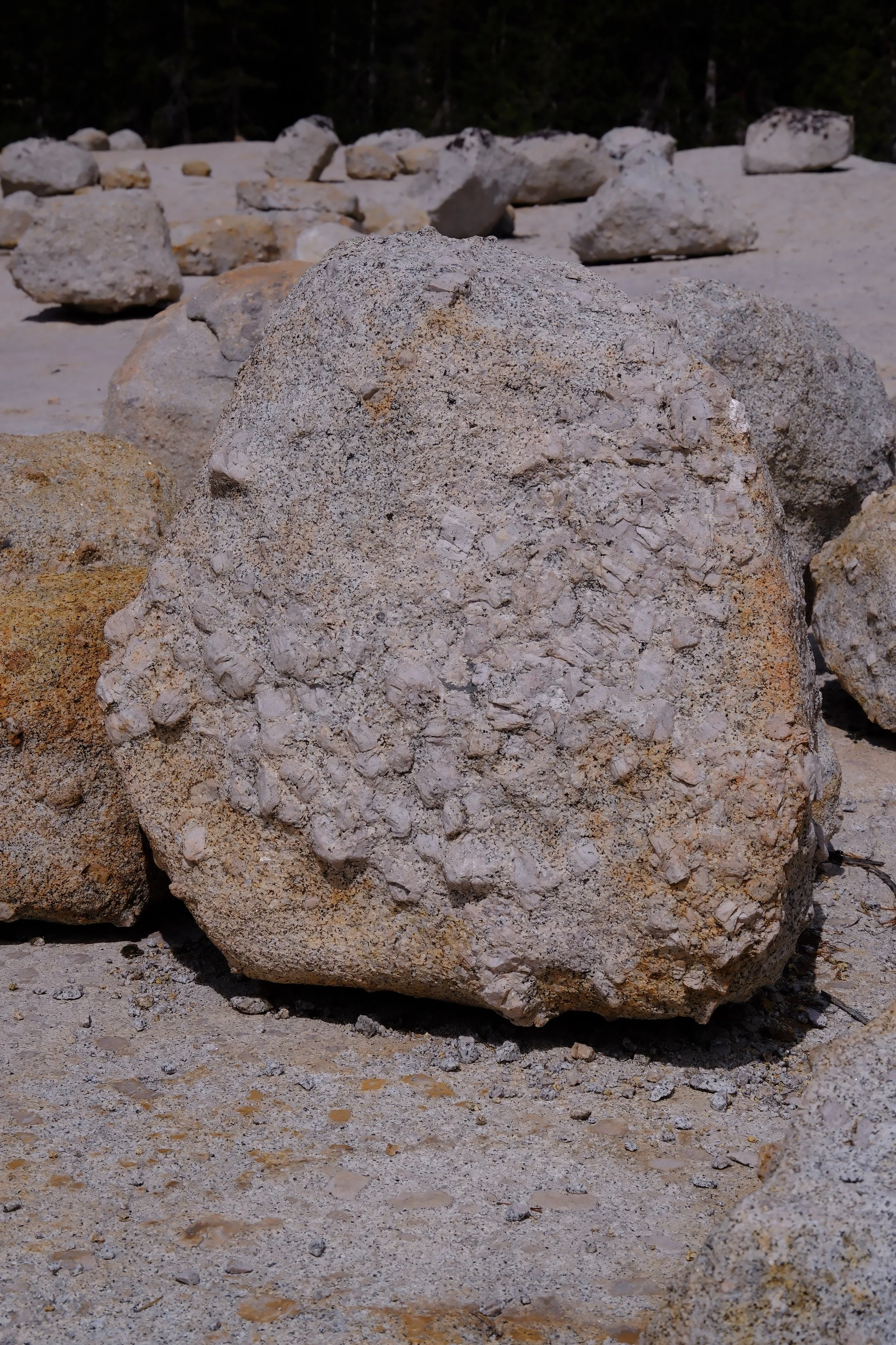
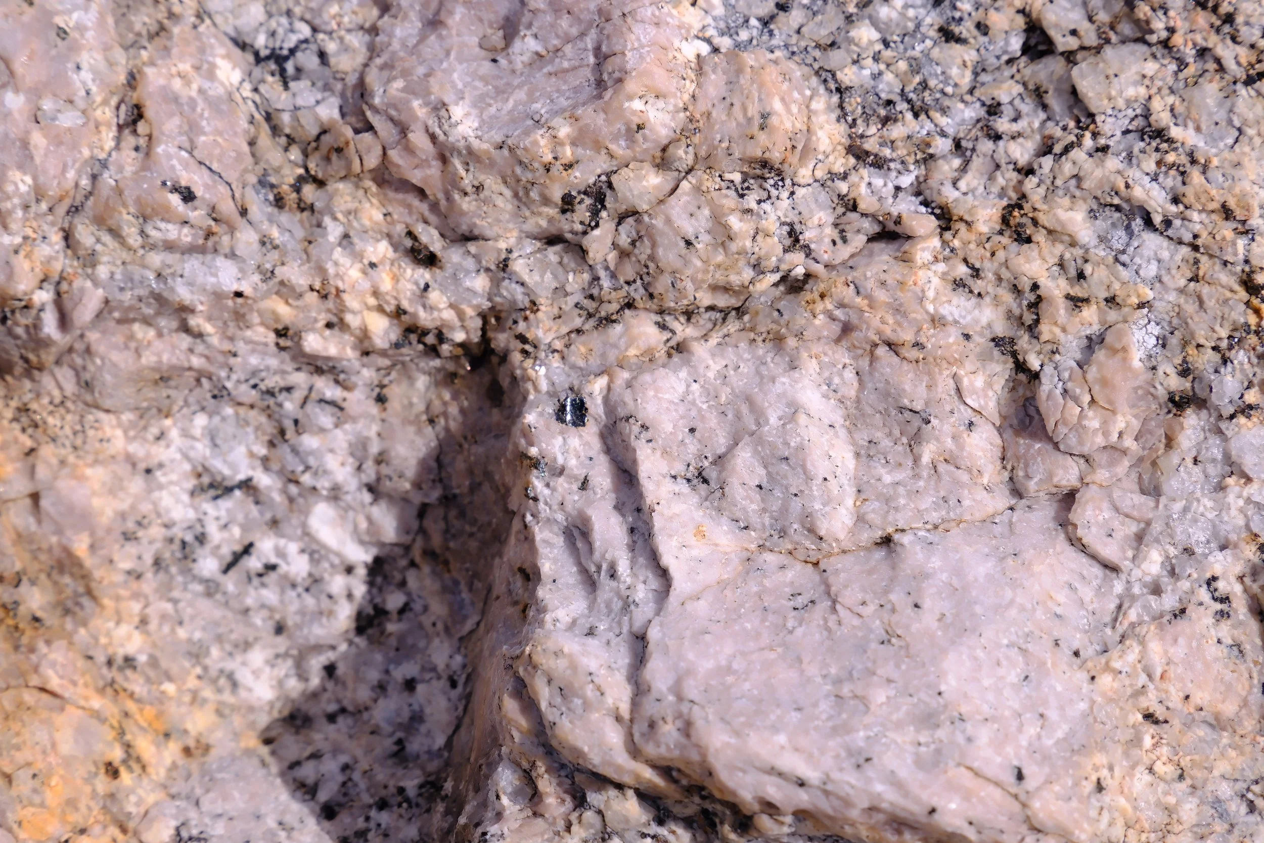
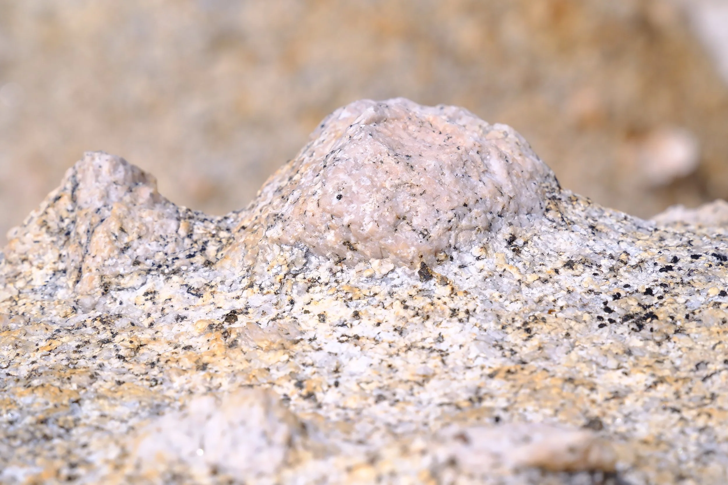
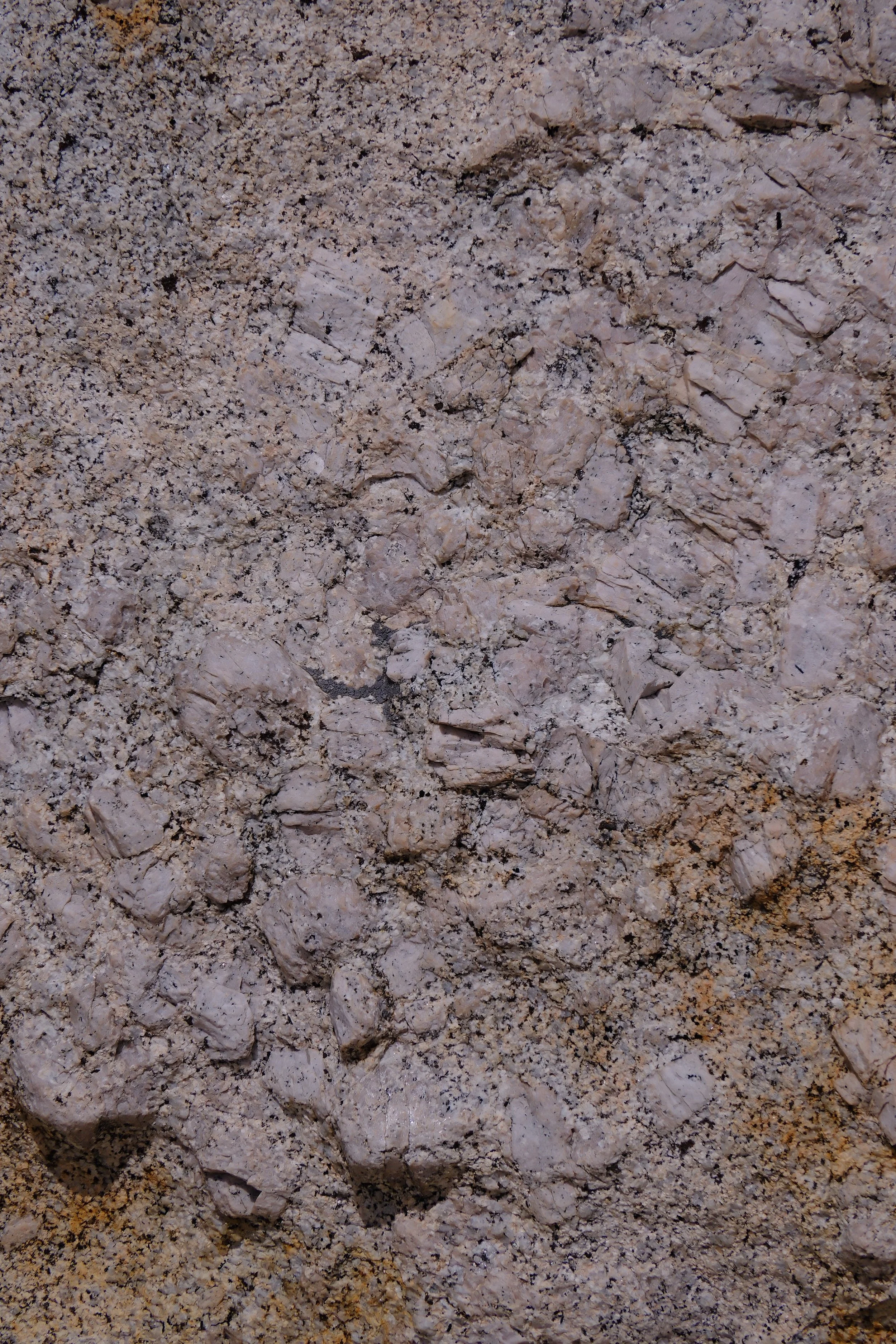
Just past Fairview Dome, so many boulders randomly strewn across a patch of granite bedrock, it looked as though a giant from centuries past had dropped their rock collection. We wandered amongst them marveling at the textures and patterns, formed millions of years ago, still resting in this spot, long after the vast ice sheet of twenty thousand years ago melted away. It is times like this, we long for a geologist (as well as many other -ists) to magically appear before us and regale us with nature’s many secrets.
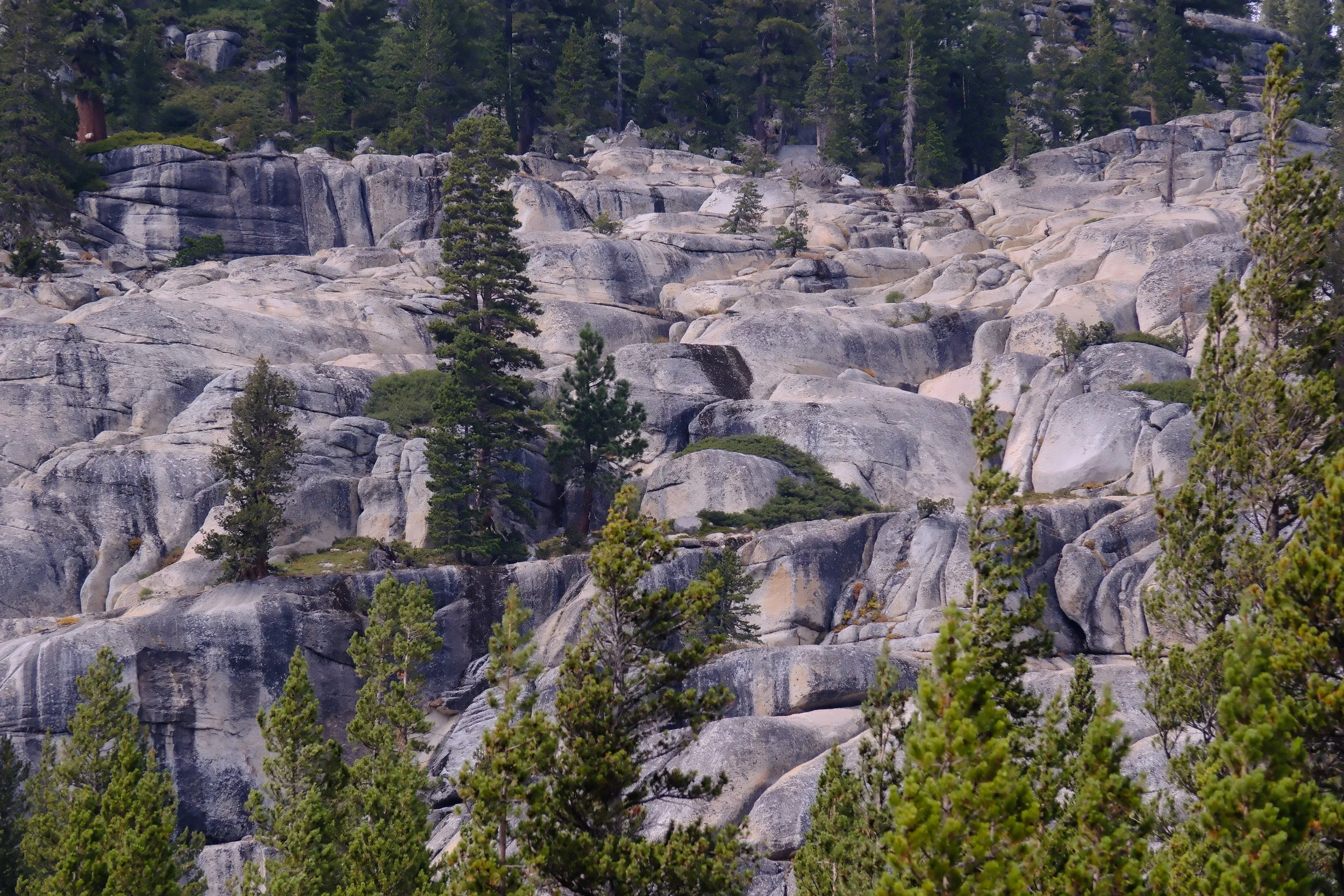
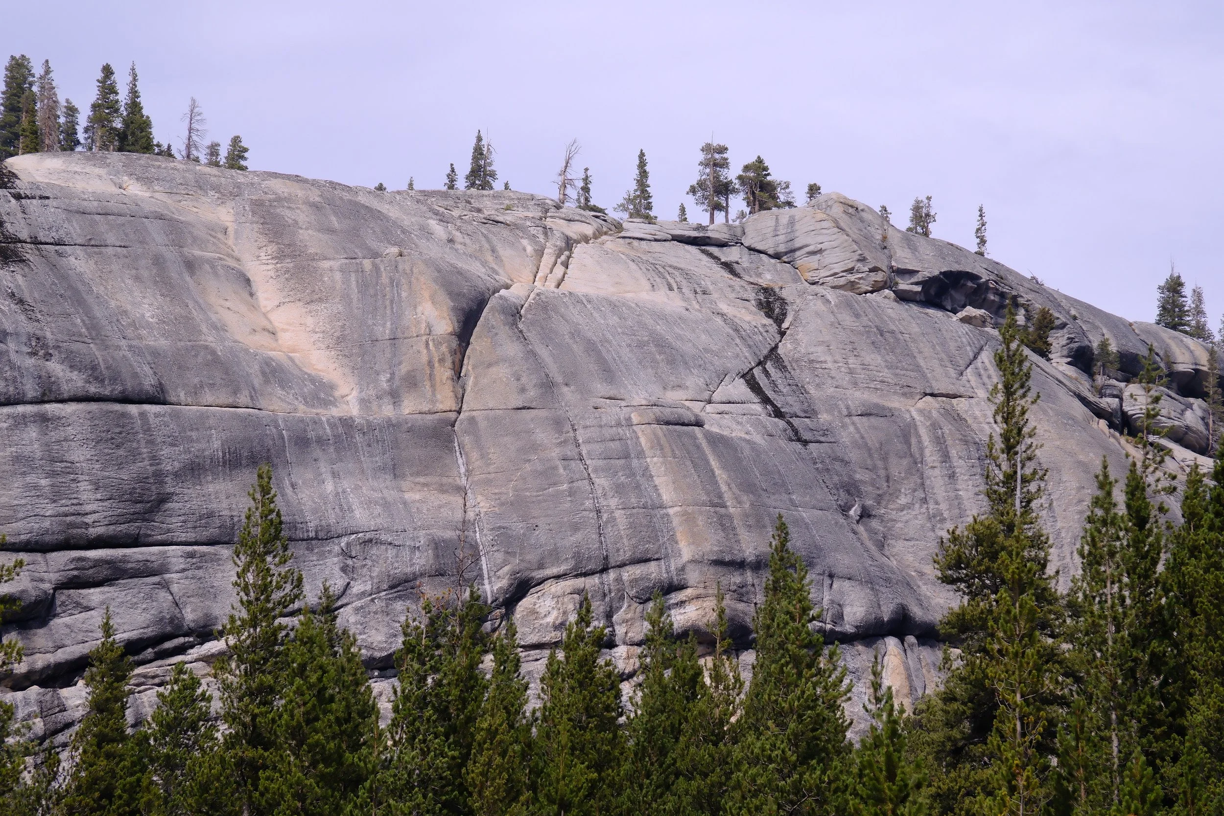
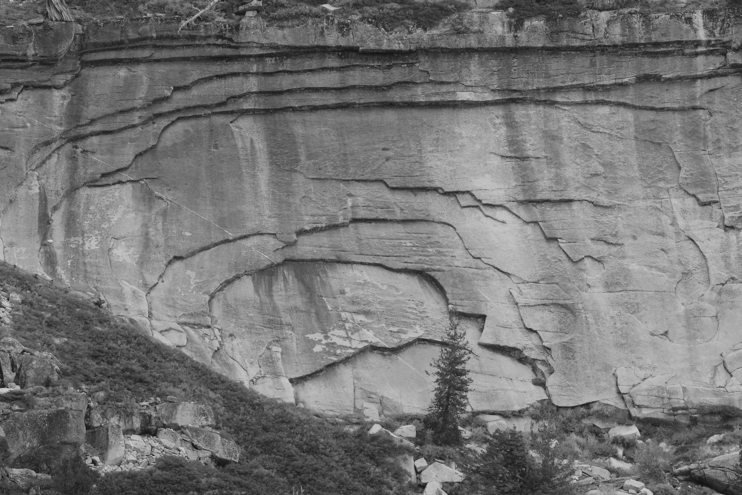
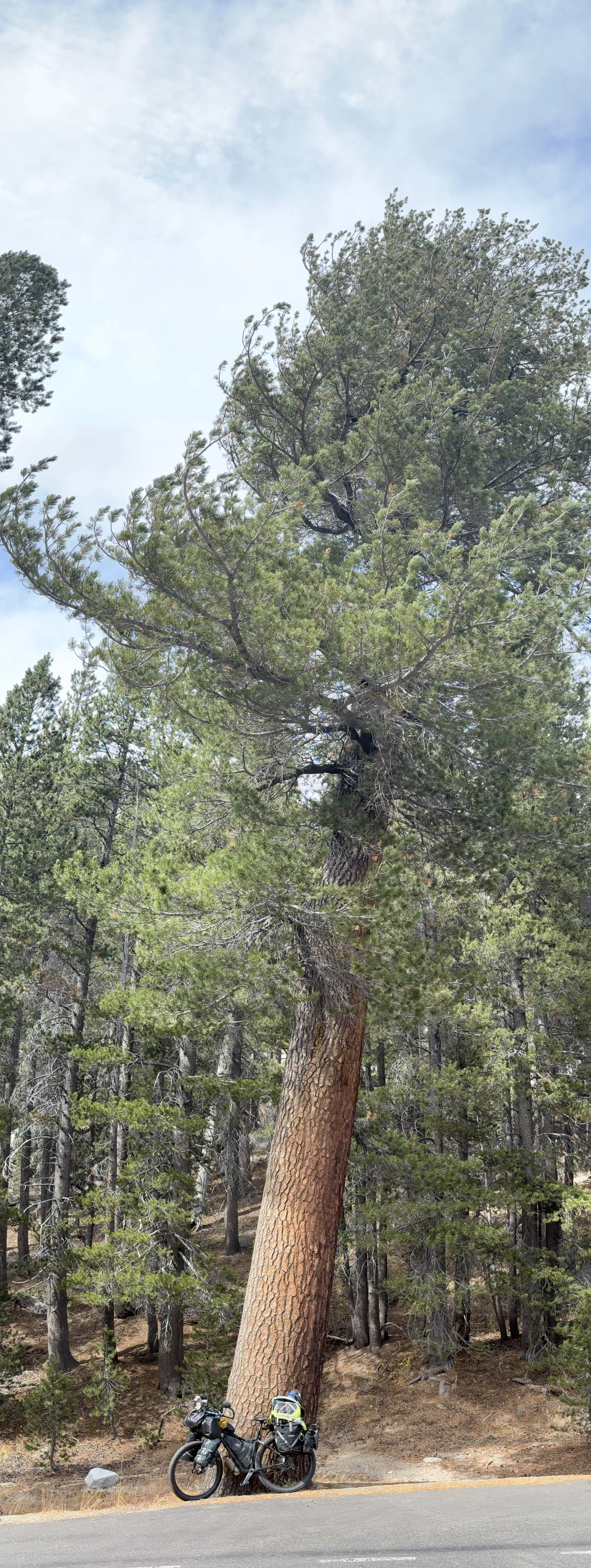
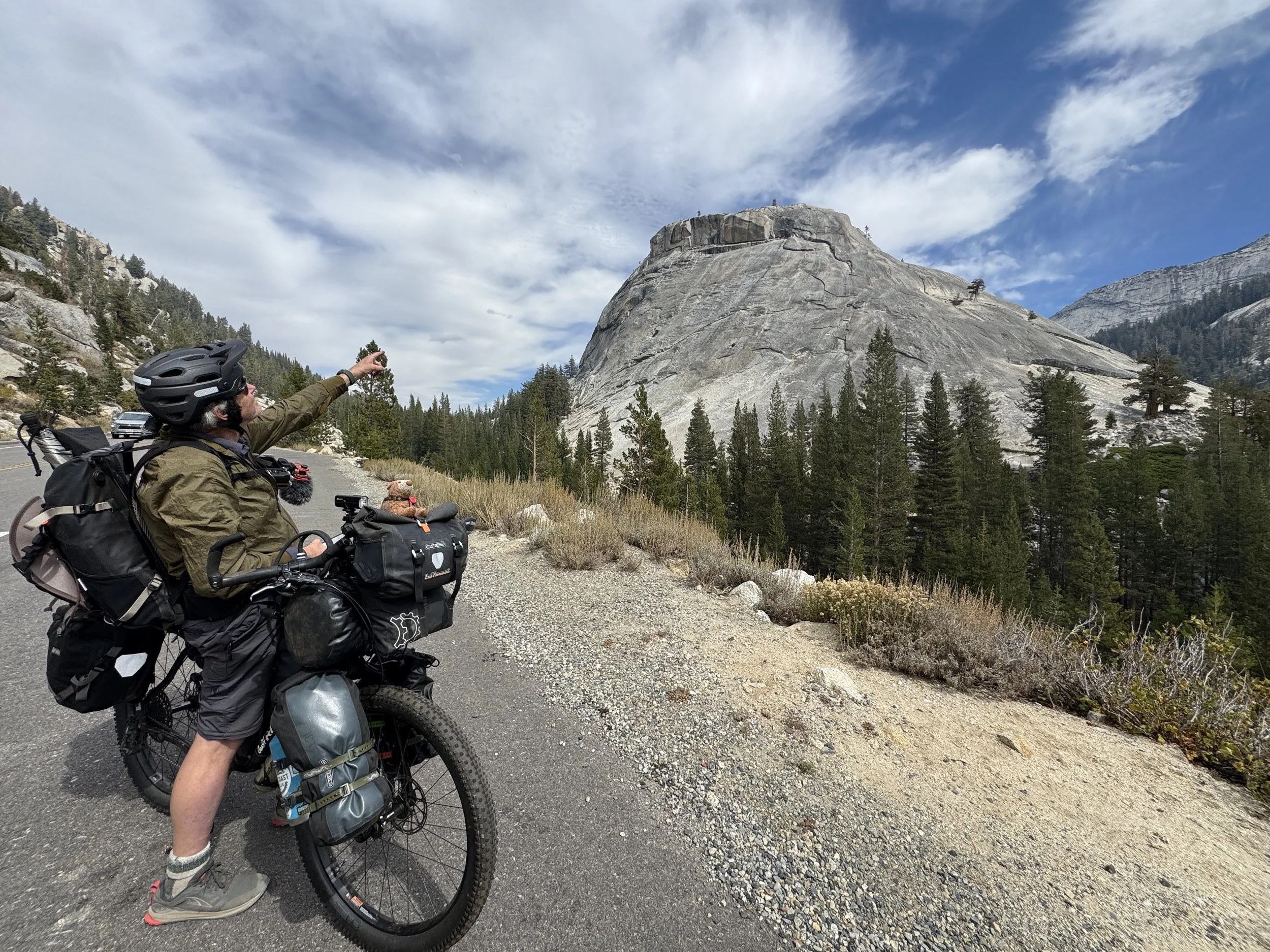
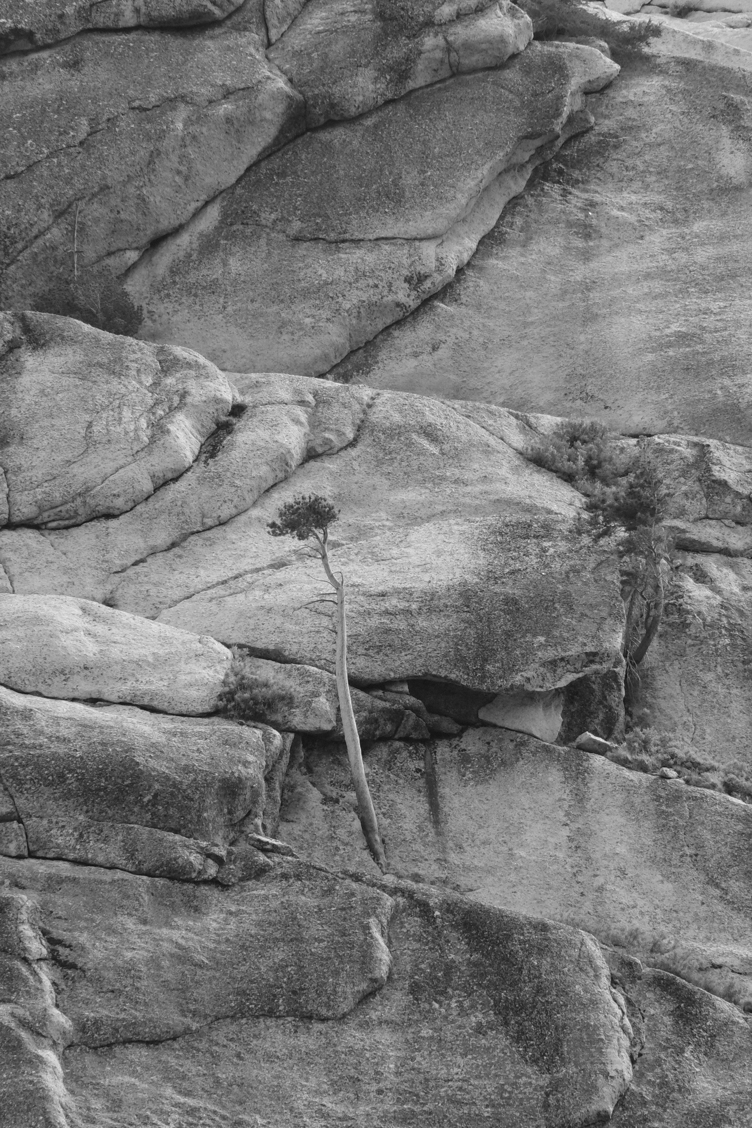
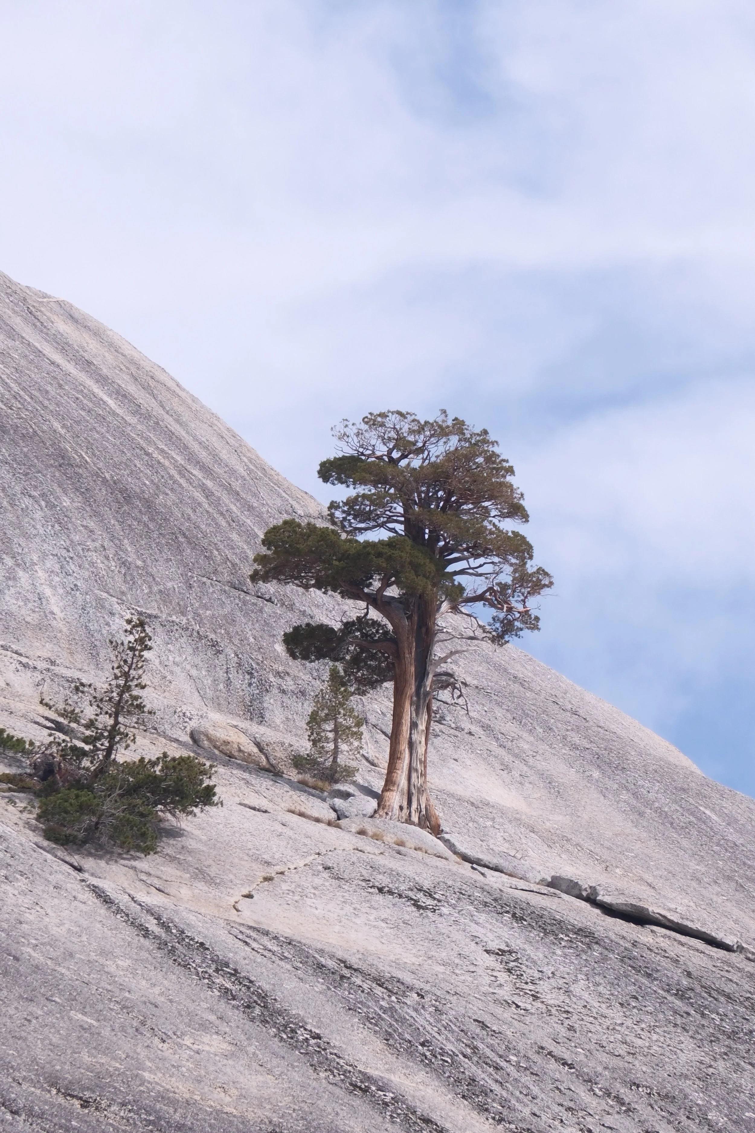
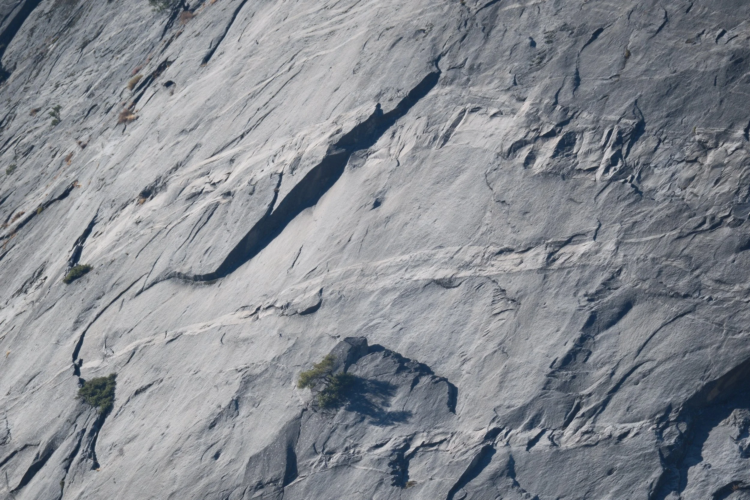
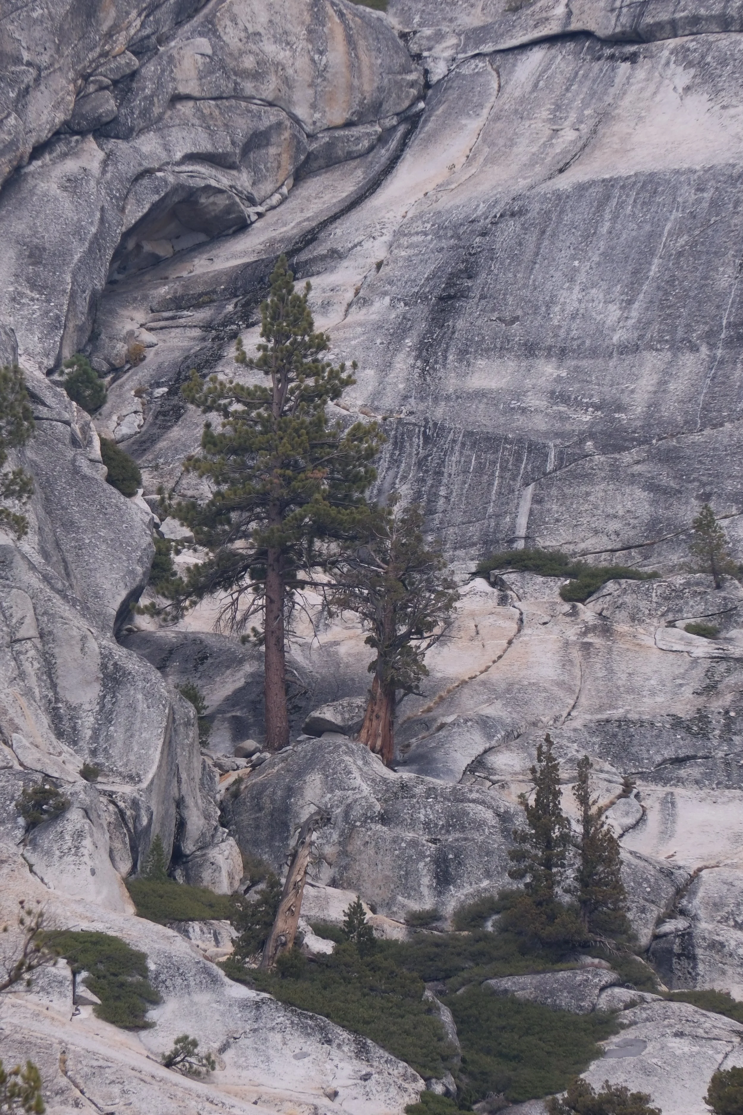
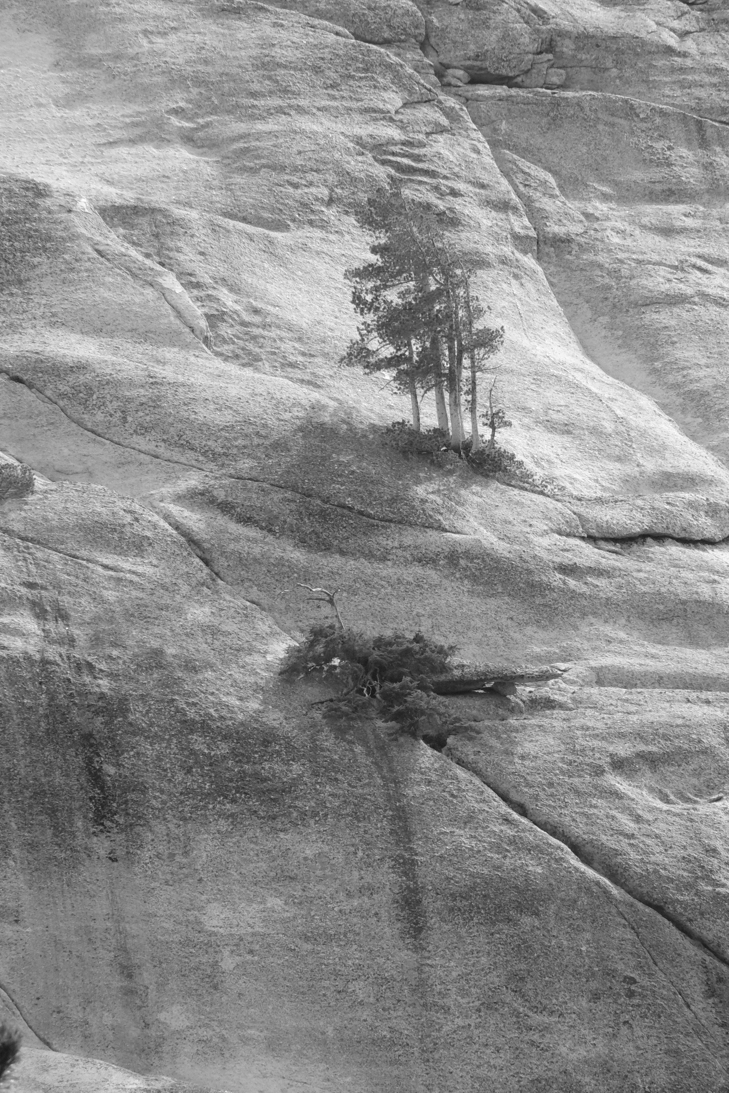
Near Mendicott Dome, the solitary Junipers clinging precariously to the granite cliff caught our eye. Junipers are the fourth longest-living tree species on the planet. In the Sierras, they depend on the Townsend Solitaire to process their berries and the wind to distribute their seeds. Even though it is plausible that the powerful winds here carried a seed to such heights, it is beyond comprehension that it then decides to grow, on its own, with barely any soil to support its roots. Having read more about the “Life of Trees” of late, it is even more of a curiosity - is there still a mycorrhizal network to carry messages across the granite face, to pass nutrients or warnings, or do they somehow eek out a solitary existence? Another of nature’s puzzles to ponder as we round the next corner.
Mendicott Dome & Tressider Peak
Unfortunately our musings over the landscape were no longer in solitude. Every few minutes, our thoughts were interrupted by the flow of what felt like “city traffic” intent on a far-off destination, not vehicles of casual travelers. In addition to RVs, there were industrial trucks, delivery trucks, construction vehicles of all sizes, even a Porsche/BMW rally.
And so it began, our first indications that the road we were traveling was no longer solely a scenic byway, but a gateway to a bustling community in the Valley and destinations beyond. Were we ready for this immersion, after a week of psuedo-backcountry bliss? Only one way to find out.
Crossing Over
As we descended to the edges of Tenaya Lake, we were forced to weave our way around an endless stream of vans, buses, cars and RVs parked precariously along every square inch of road side, as well as in the pull outs, before we even reached the day-use area. It was the largest concentration of people we had seen in the park to date, and it felt more like a California metro hotspot at the beach, than the backcountry it was intended to remain.
Tenaya Lake
Realizing our first 10 miles on the bike were already behind us, we stopped for lunch at the day-use area alongside the lake before making our final two climbs of the day. Thanks to Nivaun’s thoughtful planning, the extra days of rest he spontaneously wove into the start of our trip had allowed my knee to recover to the point, it was now protesting the confines of its sleeve, longing to move freely once again.
In fact, every incline that day, short or long, we reached the top without resting. By the time we were on our final approach to Olmstead Point, during a fleeting traffic interlude, I heard from behind… “WE STILL GOT ITTT!!” Followed by my gleeful reply -YES! Yes - we do, I thought, aging hasn’t caught us up yet!
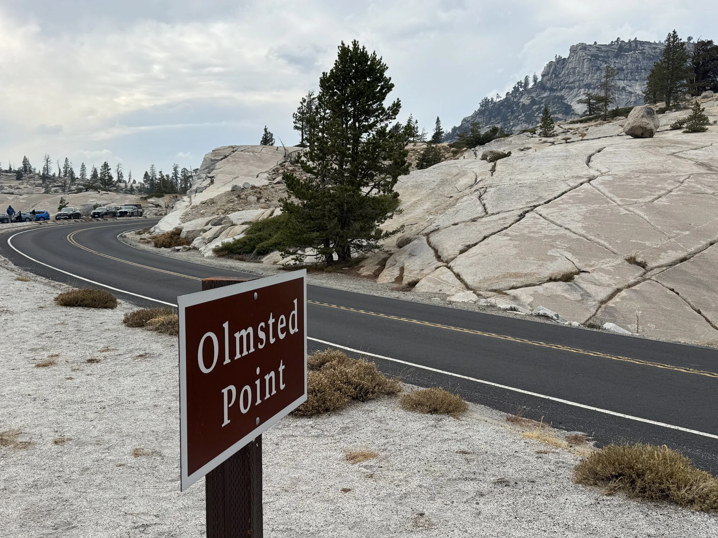
And then, there it was…not the vista we had imagined.
Enter the Haze
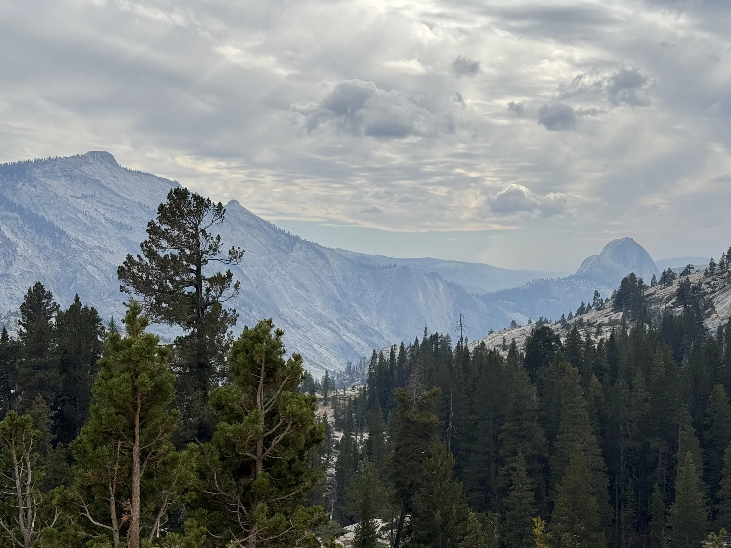
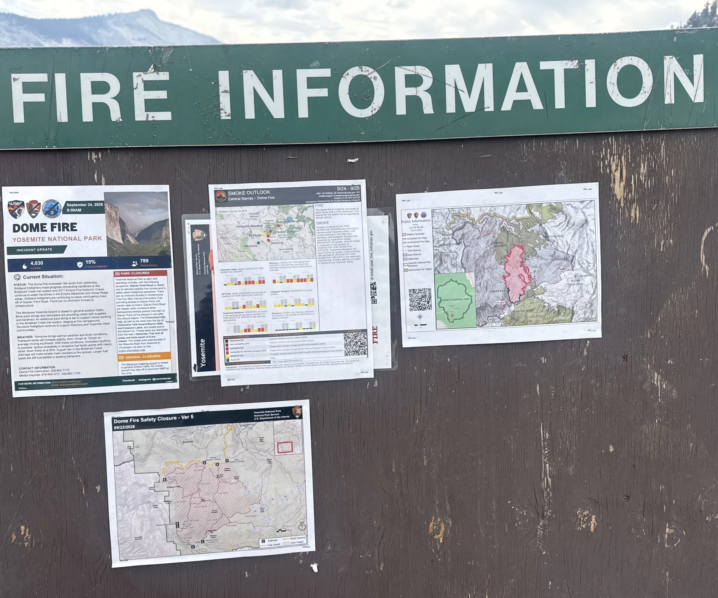
Smoke from the Dome Fire was abruptly wringing oxygen from the air and “masking” the skyline in every direction. The smoke we had serendipitously avoided was now forcing its way into our airways, just as we reached the parking lot. For the first time, I felt compelled to dig out my mask. A wave of dread, pulled us toward the “Fire Information” board only to find the “updates” were still from 3 days ago.
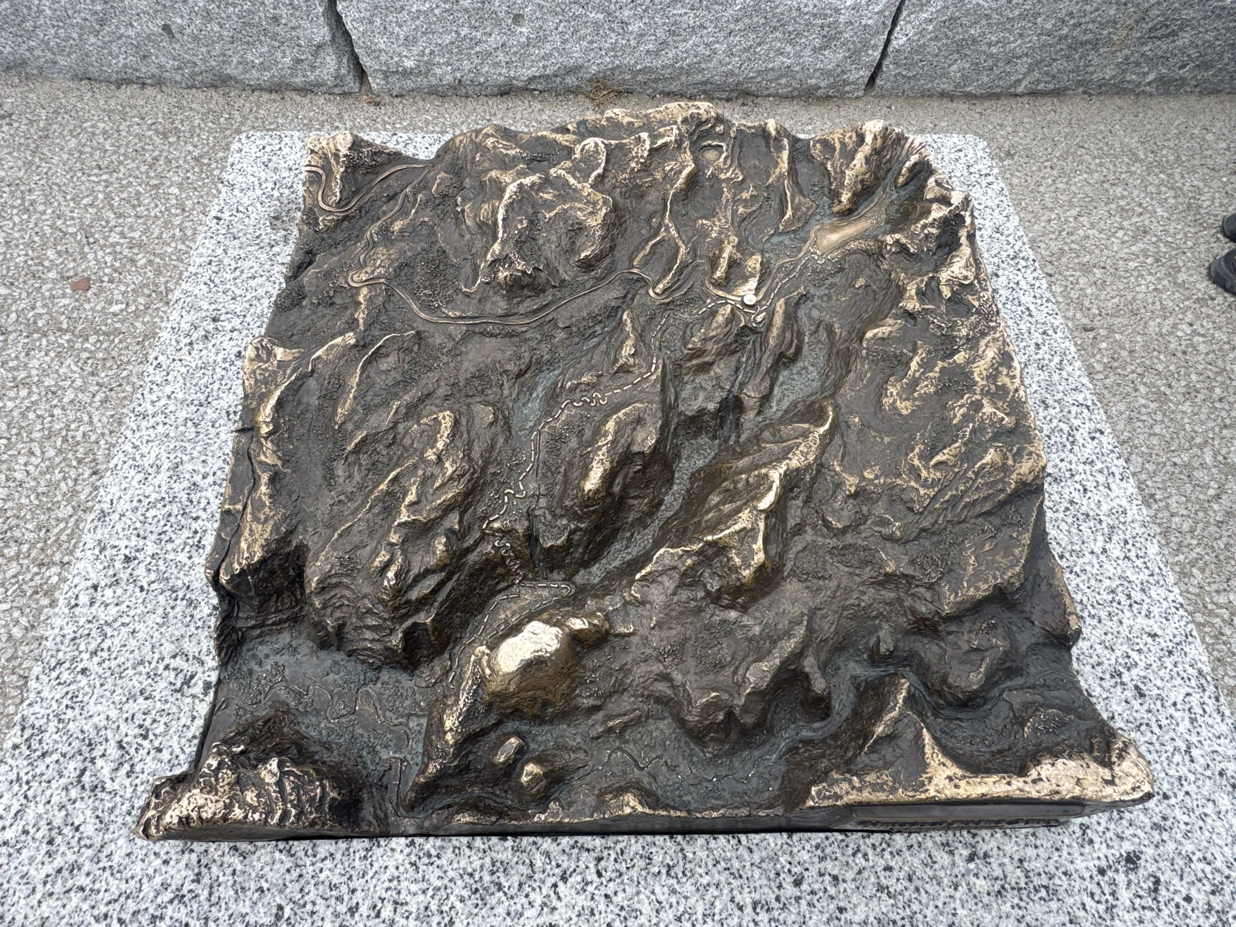
We lingered long enough to read about the Olmstead legacy of conservation during the early stages of managing the park, influencing future management policy and the initial formation of the National Park Service. And another, explaining the avalanche dangers endured since the opening of Tioga Road in 1961 to clear snow drifts of up to 30’ across 26 avalanche zones at the start of every tourist season - the closing statement, struck me the most “…rigorous road-opening procedures invite respect for the character of this place and perhaps a greater appreciation for the pleasure and privilege of being here.” Given our experience on the road thus far, I was still hoping this sentiment for the roadway was not completely lost to the frenzied pace of life today. However, the park statistics this year were revealing a different story - most definitely not in the bear’s favor.
Thankfully, we only had about six miles left to reach our campsite at Porcupine Flat, and after a short climb from Olmstead Point, a long descent to 8,091’. Our ride to the Valley that was supposed to be “mostly downhill” still had its share of “up”, after sixteen miles, we had descended less than 600’ in elevation overall.